Transport Functions
Rail
Road
Hub Profile
Place type
Provincial seat
Region
Moravskoslezský
Population
48,637
Time zone
Europe/Prague
Elevation
221 m
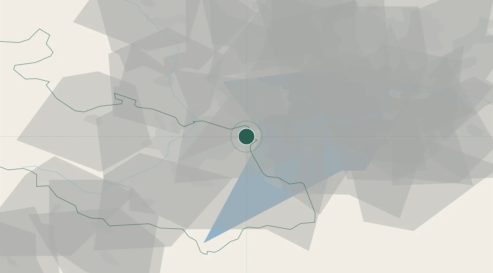
Location
Nearby Logistics Neighbours
Cities
- 1Petrovice u Karviné4 km
- 2Orlova9 km
- 3Horní Suchá9 km
- 4Petrvald11 km
- 5Havírov13 km
Airports
DatabookThe Record of Consolidated Knowledge
Czechia beyond logistics?