Transport Functions
Multimodal
Hub Profile
Place type
Populated place
Region
West Pomerania
Time zone
Europe/Warsaw
Elevation
22 m
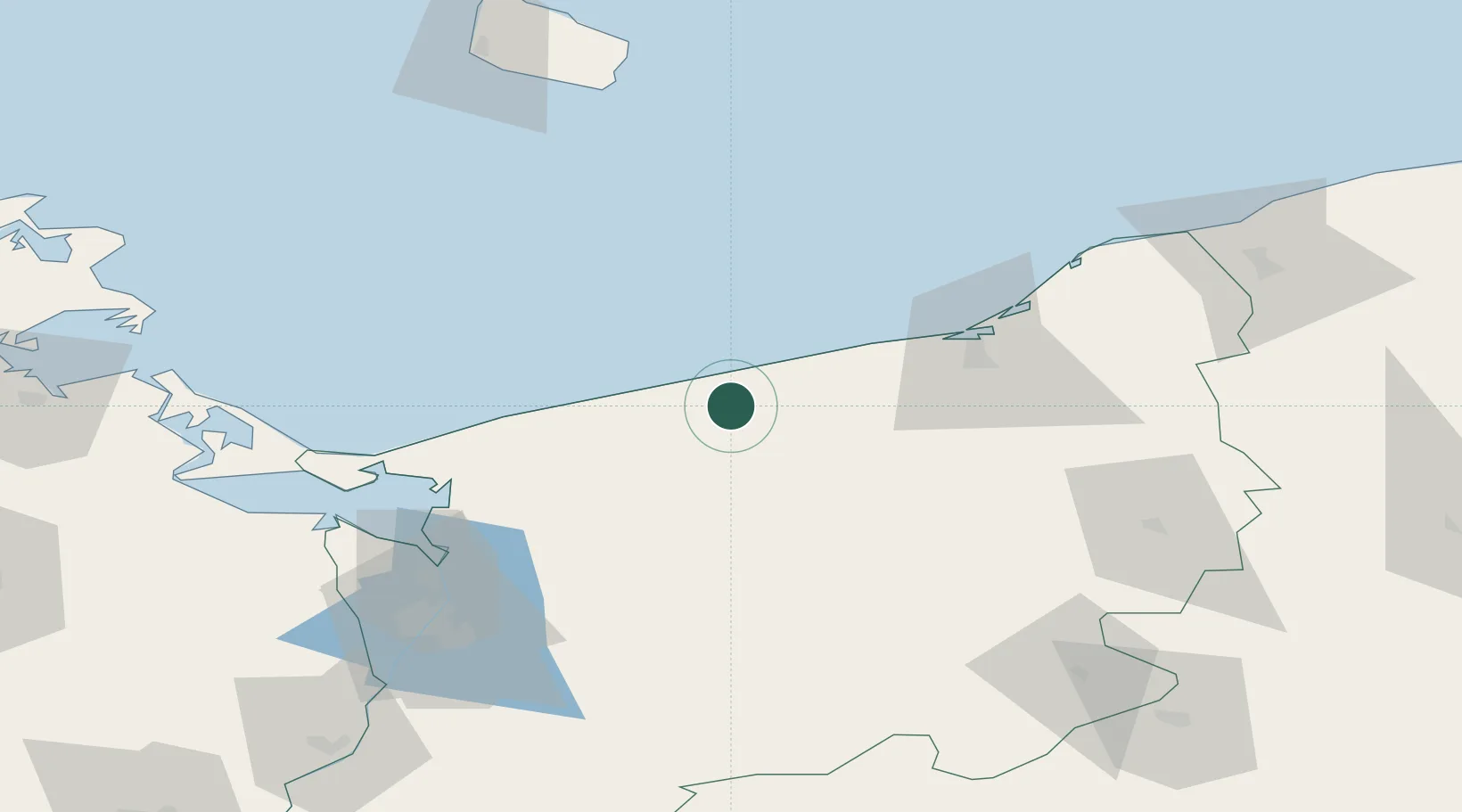
Location
Nearby Logistics Neighbours
Ports
- 1Kolobrzeg18 km
- 2Darlowo75 km
- 3Swinoujscie79 km
- 4Police80 km
- 5Szczecin93 km
Airports
Trade Zones
- 1Swinoujscie Duty Free Zone79 km
- 2Szczecin Duty Free Zone92 km
- 3Słupsk SEZ (Słupska SSE)112 km
- 4Kostrzyń-Słubice SEZ172 km
- 5Pomeranian SEZ (Pomorska SSE)178 km
DatabookThe Record of Consolidated Knowledge
Poland beyond logistics?