Transport Functions
Rail
Road
Hub Profile
Place type
Provincial seat
Region
West Pomerania
Population
16,720
Time zone
Europe/Warsaw
Elevation
17 m
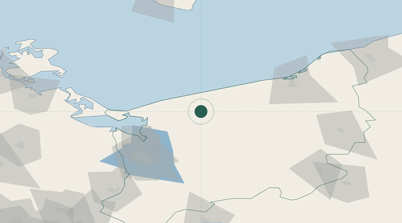
Location
Nearby Logistics Neighbours
Ports
- 1Kolobrzeg40 km
- 2Police57 km
- 3Swinoujscie61 km
- 4Szczecin70 km
- 5Wolgast94 km
Airports
Trade Zones
- 1Swinoujscie Duty Free Zone61 km
- 2Szczecin Duty Free Zone69 km
- 3Słupsk SEZ (Słupska SSE)134 km
- 4Kostrzyń-Słubice SEZ152 km
- 5MTS Malmö Transport and Spedition231 km
DatabookThe Record of Consolidated Knowledge
Poland beyond logistics?