Transport Functions
Port
Hub Profile
Place type
Populated place
Region
West Pomerania
Population
1,671
Time zone
Europe/Warsaw
Elevation
2 m
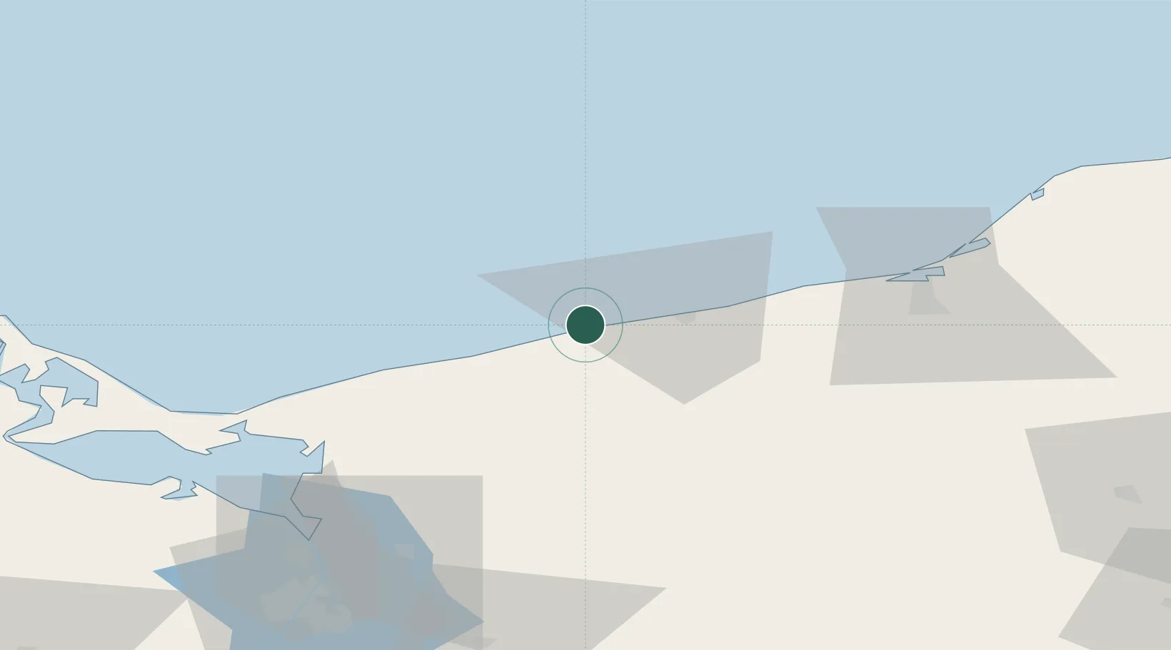
Location
Nearby Logistics Neighbours
Ports
- 1Kolobrzeg18 km
- 2Swinoujscie72 km
- 3Darlowo79 km
- 4Police81 km
- 5Szczecin95 km
Airports
Trade Zones
- 1Swinoujscie Duty Free Zone73 km
- 2Szczecin Duty Free Zone94 km
- 3Słupsk SEZ (Słupska SSE)117 km
- 4Kostrzyń-Słubice SEZ178 km
- 5Pomeranian SEZ (Pomorska SSE)186 km
DatabookThe Record of Consolidated Knowledge
Poland beyond logistics?