Transport Functions
Multimodal
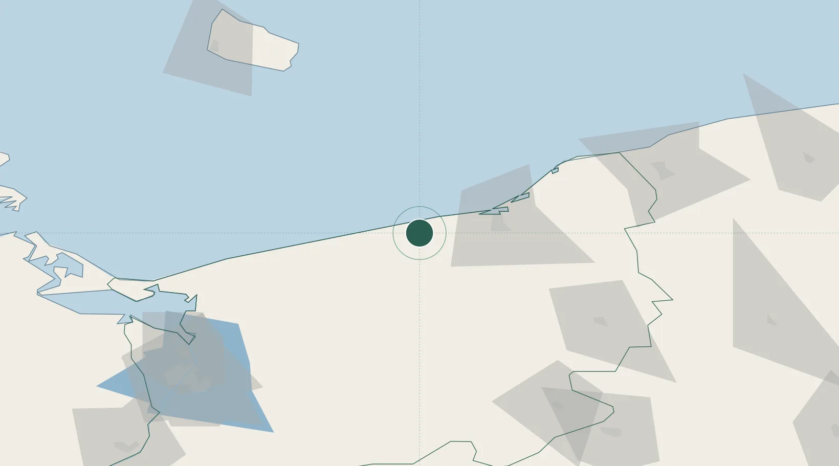
Hub Profile
Place type
Populated place
Region
West Pomerania
Population
240
Time zone
Europe/Warsaw
Elevation
22 m
Location
Nearby Logistics Neighbours
Cities
- 1Ustronie Morskie6 km
- 2Mierzyn9 km
- 3Kolobrzeg12 km
- 4Karlino18 km
- 5Bialogard22 km
Ports
- 1Kolobrzeg15 km
- 2Darlowo52 km
- 3Ustka84 km
- 4Swinoujscie102 km
- 5Police103 km
Airports
- 1Swidwin Military Air Base42 km
- 2Solidarity Szczecin–Goleniów Airport86 km
- 3Miroslawiec Military Air Base88 km
- 4Heringsdorf Airport110 km
- 5Bornholm Airport119 km
Trade Zones
- 1Słupsk SEZ (Słupska SSE)88 km
- 2Swinoujscie Duty Free Zone102 km
- 3Szczecin Duty Free Zone114 km
- 4Pomeranian SEZ (Pomorska SSE)156 km
- 5Gdansk Port Duty Free Zone189 km
DatabookThe Record of Consolidated Knowledge
Poland beyond logistics?