Transport Functions
Port
Rail
Road
Hub Profile
Place type
District seat
Region
West Pomerania
Population
44,377
Time zone
Europe/Warsaw
Elevation
6 m
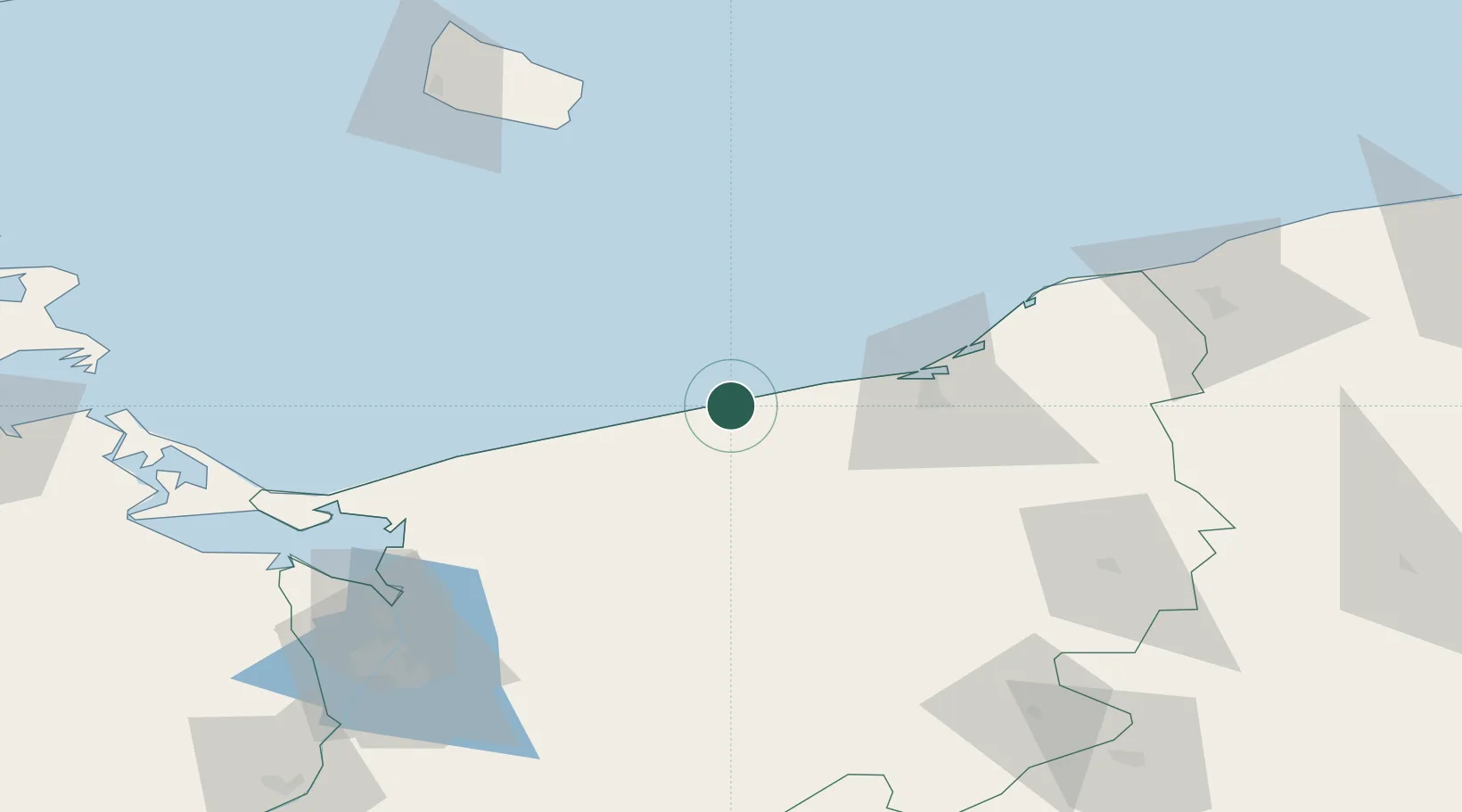
Location
Nearby Logistics Neighbours
Cities
- 1Ustronie Morskie12 km
- 2Kukinia12 km
- 3Kedrzyno16 km
- 4Mrzezyno19 km
- 5Mierzyn21 km
Ports
- 1Darlowo61 km
- 2Swinoujscie91 km
- 3Ustka93 km
- 4Police96 km
- 5Nekso102 km
Airports
Trade Zones
- 1Swinoujscie Duty Free Zone91 km
- 2Słupsk SEZ (Słupska SSE)99 km
- 3Szczecin Duty Free Zone108 km
- 4Pomeranian SEZ (Pomorska SSE)167 km
- 5Kostrzyń-Słubice SEZ187 km
DatabookThe Record of Consolidated Knowledge
Poland beyond logistics?