Medium airport · Poland

Miroslawiec Military Air BaseEPMI
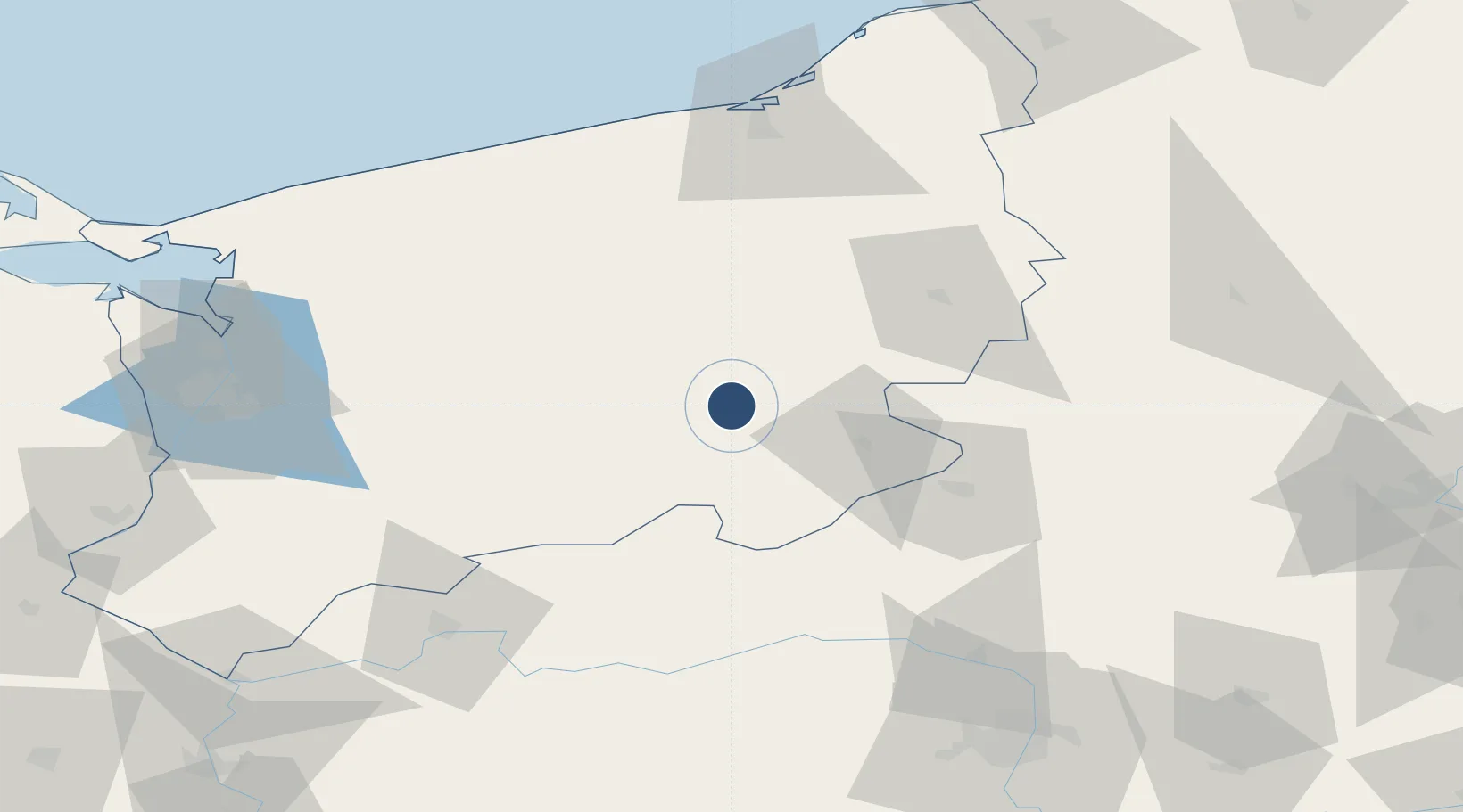
53.3951°, 16.0828°
8,202 ft
Longest runway
1
Runways
459 ft
Elevation

Runway & Layout

Miroslawiec Military Air Base runway & taxiway layout
Runway & taxiway layout — OpenStreetMap (ODbL) / OurAirports

Radio Frequencies

AFIS
128.5 MHz
INFO
OurAirports

Runways · 1

RunwayDimensions SurfaceTrue headingLit
12/30 8,202 × 148ft Concrete 125°
OurAirports

Airport Specifications

ICAO code
EPMI
OurAirports
Airport class
Medium airport
OurAirports
Scheduled service
No
OurAirports
Runway surface
Concrete
OurAirports
Served city
Mirosławiec
OurAirports

Location

Location of EPMI
Natural Earth 10m (public domain) · West Pomeranian · EPMI · 53.40, 16.08GoogleOSMYandex

Nearby Logistics Neighbours

Airports
  1. 1Swidwin Military Air Base47 km
  2. 2Solidarity Szczecin–Goleniów Airport81 km
  3. 3Poznań-Ławica Airport119 km
  4. 4Ignacy Jan Paderewski Bydgoszcz Airport130 km
  5. 5Krzesiny Military Air Base132 km
Nearest neighbours — logibook spatial index (haversine) over the source coordinates
Cities
  1. 1Miroslawiec7 km
  2. 2Zlocieniec16 km
  3. 3Tuczno24 km
  4. 4Drawsko Pomorskie24 km
  5. 5Walcz29 km
Nearest neighbours — logibook spatial index (haversine) over the source coordinates
Ports
  1. 1Kolobrzeg98 km
  2. 2Szczecin102 km
  3. 3Police102 km
  4. 4Darlowo118 km
  5. 5Swinoujscie133 km
Nearest neighbours — logibook spatial index (haversine) over the source coordinates
Trade Zones
  1. 1Szczecin Duty Free Zone100 km
  2. 2Kostrzyń-Słubice SEZ131 km
  3. 3Swinoujscie Duty Free Zone132 km
  4. 4Słupsk SEZ (Słupska SSE)134 km
  5. 5Pomeranian SEZ (Pomorska SSE)169 km
Nearest neighbours — logibook spatial index (haversine) over the source coordinates
DatabookThe Record of Consolidated Knowledge
Poland beyond logistics?
Browse databook

All Sources

AirportsOurAirports
Public domain
Portsthe NGA World Port Index
Public domain (US gov)
LocationsUN/LOCODE
UN/LOCODE — free
Trade Zonesthe World Bank SEZ database
CC BY 4.0
Trade ZonesOpen Zone Map
CC BY
InfrastructureOpenStreetMap
ODbL 1.0
← Poland airports