Medium airport · Poland
Swidwin Military Air BaseEPSN
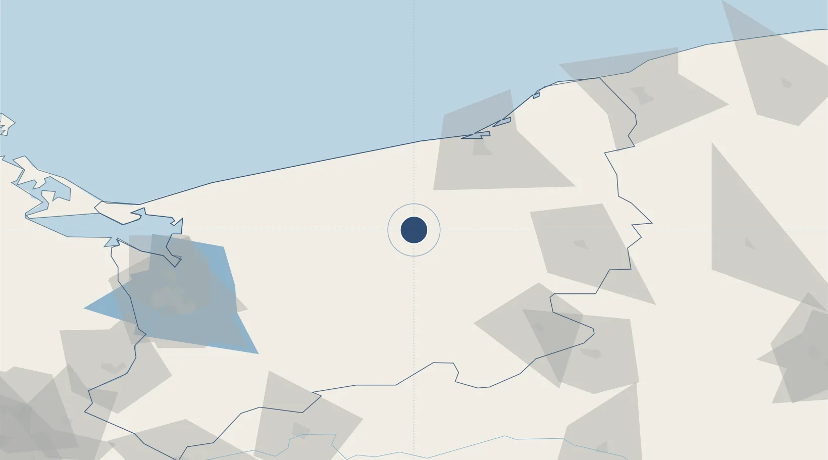
53.7906°, 15.8263°
8,200 ft
Longest runway
1
Runways
394 ft
Elevation
Runway & Layout

Radio Frequencies
AFIS
128.5 MHz
INFO
Runways · 1
| Runway | Dimensions | Surface | True heading | Lit |
|---|---|---|---|---|
| 11/29 | 8,200 × 190ft | Concrete | 111° | ✓ |
Airport Specifications
ICAO code
EPSN
Airport class
Medium airport
Scheduled service
No
Runway surface
Concrete
Location
Nearby Logistics Neighbours
Airports
- 1Miroslawiec Military Air Base47 km
- 2Solidarity Szczecin–Goleniów Airport65 km
- 3Heringsdorf Airport110 km
- 4Cewice Naval Air Base144 km
- 5Bornholm Airport157 km
Cities
- 1Swidwin4 km
- 2Polczyn-Zdrój18 km
- 3Starogard20 km
- 4Karlino25 km
- 5Bialogard27 km
Ports
- 1Kolobrzeg51 km
- 2Darlowo81 km
- 3Police87 km
- 4Szczecin94 km
- 5Swinoujscie103 km
Trade Zones
- 1Szczecin Duty Free Zone92 km
- 2Swinoujscie Duty Free Zone103 km
- 3Słupsk SEZ (Słupska SSE)108 km
- 4Kostrzyń-Słubice SEZ155 km
- 5MTS Malmö Transport and Spedition268 km
DatabookThe Record of Consolidated Knowledge
Poland beyond logistics?