UN/LOCODE hub · Poland
PLNCH

Niechorze

54.1000°, 15.0667°
927
Population
1
Transport functions

Transport Functions

Port
UN/LOCODE

Hub Profile

Place type
Populated place
GeoNames
Region
West Pomerania
GeoNames
Population
927
GeoNames
Time zone
Europe/Warsaw
GeoNames
Elevation
4 m
GeoNames

Location

Location of PLNCH
Natural Earth 10m (public domain) · West Pomerania · PLNCH · 54.10, 15.07GoogleOSMYandex

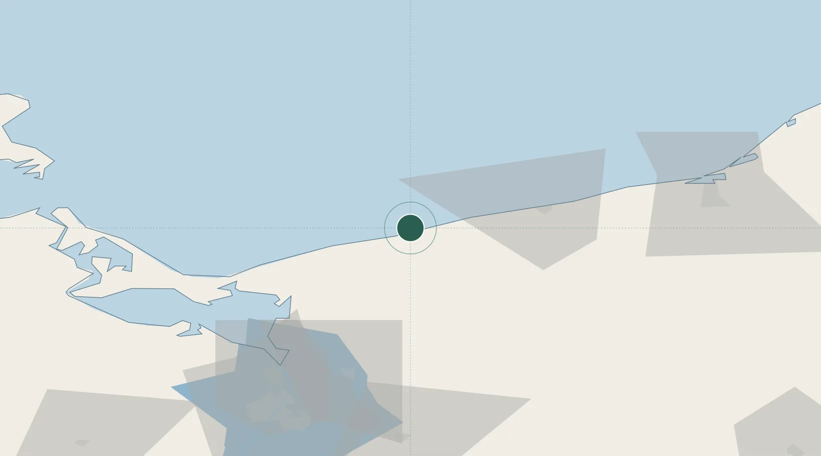
Nearby Logistics Neighbours

Cities
  1. 1Rewal4 km
  2. 2Mrzezyno16 km
  3. 3Dziwnow22 km
  4. 4Gryfice22 km
  5. 5Kamien Pomorski25 km
Nearest neighbours — logibook spatial index (haversine) over the source coordinates
Ports
  1. 1Kolobrzeg34 km
  2. 2Swinoujscie56 km
  3. 3Police68 km
  4. 4Szczecin83 km
  5. 5Wolgast84 km
Nearest neighbours — logibook spatial index (haversine) over the source coordinates
Airports
  1. 1Solidarity Szczecin–Goleniów Airport58 km
  2. 2Swidwin Military Air Base61 km
  3. 3Heringsdorf Airport65 km
  4. 4Miroslawiec Military Air Base103 km
  5. 5Bornholm Airport109 km
Nearest neighbours — logibook spatial index (haversine) over the source coordinates
Trade Zones
  1. 1Swinoujscie Duty Free Zone57 km
  2. 2Szczecin Duty Free Zone82 km
  3. 3Słupsk SEZ (Słupska SSE)134 km
  4. 4Kostrzyń-Słubice SEZ170 km
  5. 5Pomeranian SEZ (Pomorska SSE)202 km
Nearest neighbours — logibook spatial index (haversine) over the source coordinates
DatabookThe Record of Consolidated Knowledge
Poland beyond logistics?
Browse databook

All Sources

LocationsUN/LOCODE
UN/LOCODE — free
LocationsGeoNames
CC BY 4.0
Portsthe NGA World Port Index
Public domain (US gov)
AirportsOurAirports
Public domain
Trade Zonesthe World Bank SEZ database
CC BY 4.0
Trade ZonesOpen Zone Map
CC BY
← Poland locations