UN/LOCODE hub · Poland
PLRWL

Rewal

54.0833°, 15.0167°
959
Population
1
Transport functions

Transport Functions

Port
UN/LOCODE

Hub Profile

Place type
District seat
GeoNames
Region
West Pomerania
GeoNames
Population
959
GeoNames
Time zone
Europe/Warsaw
GeoNames
Elevation
16 m
GeoNames

Location

Location of PLRWL
Natural Earth 10m (public domain) · West Pomerania · PLRWL · 54.08, 15.02GoogleOSMYandex

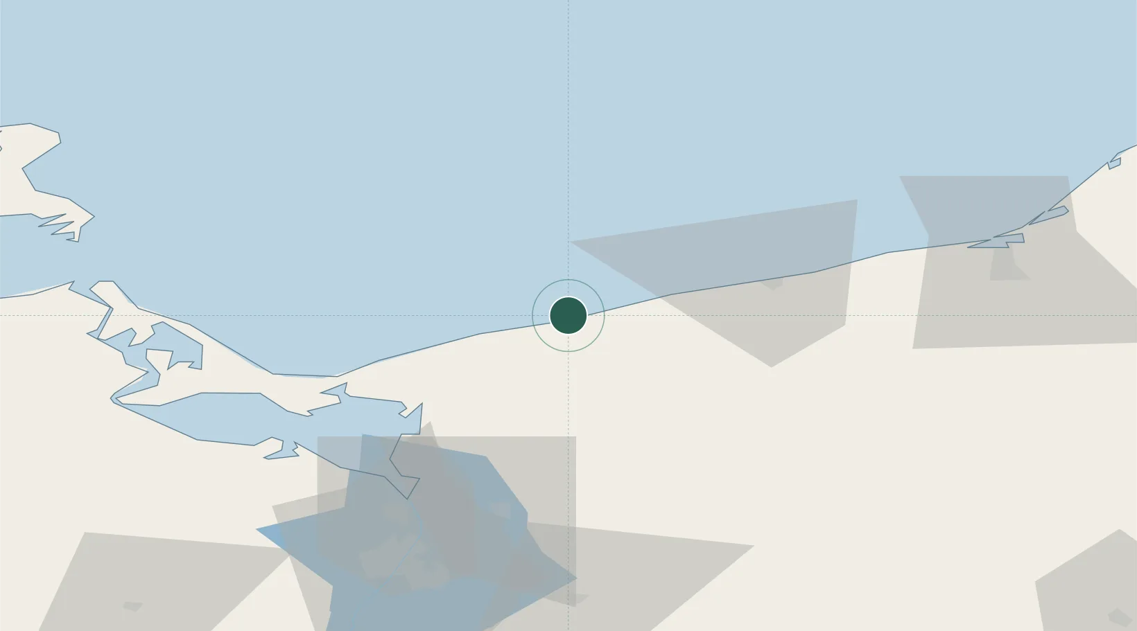
Nearby Logistics Neighbours

Cities
  1. 1Niechorze4 km
  2. 2Dziwnow18 km
  3. 3Mrzezyno20 km
  4. 4Kamien Pomorski21 km
  5. 5Gryfice22 km
Nearest neighbours — logibook spatial index (haversine) over the source coordinates
Ports
  1. 1Kolobrzeg38 km
  2. 2Swinoujscie52 km
  3. 3Police65 km
  4. 4Szczecin80 km
  5. 5Wolgast81 km
Nearest neighbours — logibook spatial index (haversine) over the source coordinates
Airports
  1. 1Solidarity Szczecin–Goleniów Airport56 km
  2. 2Heringsdorf Airport61 km
  3. 3Swidwin Military Air Base62 km
  4. 4Miroslawiec Military Air Base104 km
  5. 5Bornholm Airport110 km
Nearest neighbours — logibook spatial index (haversine) over the source coordinates
Trade Zones
  1. 1Swinoujscie Duty Free Zone53 km
  2. 2Szczecin Duty Free Zone79 km
  3. 3Słupsk SEZ (Słupska SSE)137 km
  4. 4Kostrzyń-Słubice SEZ167 km
  5. 5Pomeranian SEZ (Pomorska SSE)205 km
Nearest neighbours — logibook spatial index (haversine) over the source coordinates
DatabookThe Record of Consolidated Knowledge
Poland beyond logistics?
Browse databook

All Sources

LocationsUN/LOCODE
UN/LOCODE — free
LocationsGeoNames
CC BY 4.0
Portsthe NGA World Port Index
Public domain (US gov)
AirportsOurAirports
Public domain
Trade Zonesthe World Bank SEZ database
CC BY 4.0
Trade ZonesOpen Zone Map
CC BY
← Poland locations