Transport Functions
Port
Road
Hub Profile
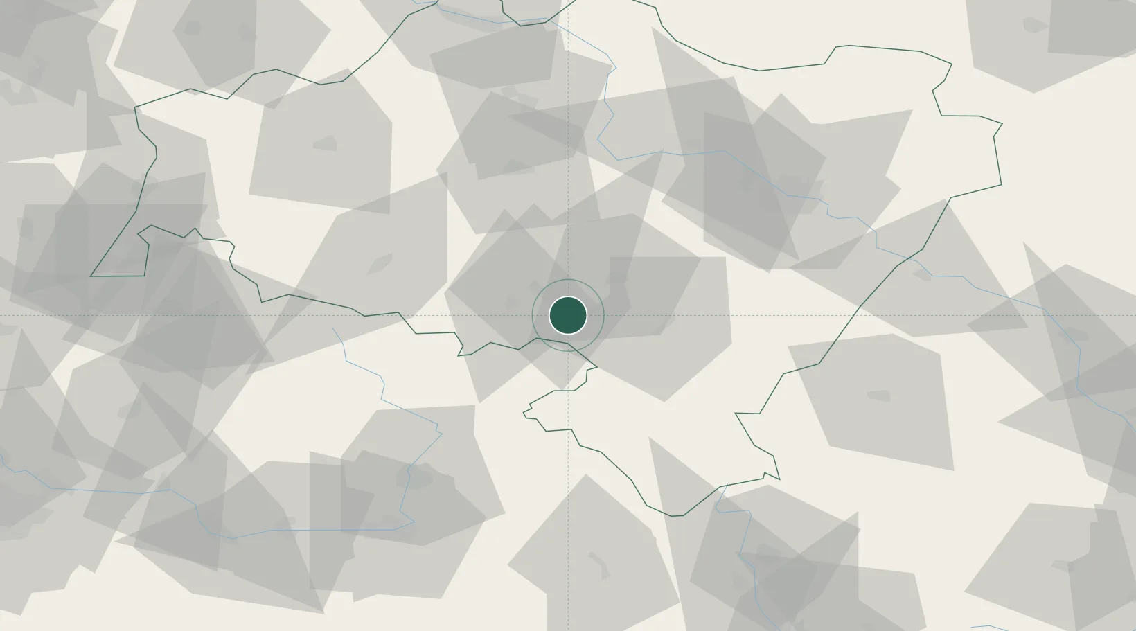
Place type
District seat
Region
Lower Silesia
Population
5,062
Time zone
Europe/Warsaw
Elevation
448 m
Location
Nearby Logistics Neighbours
Cities
- 1Boguszów-Gorce10 km
- 2Mieroszów13 km
- 3Mezimestí14 km
- 4Swidnica15 km
- 5Ludwikowice Klodzkie16 km
Ports
- 1Szczecin322 km
- 2Police337 km
- 3Swinoujscie381 km
- 4Kolobrzeg391 km
- 5Wolgast407 km
Airports
- 1Copernicus Wrocław Airport56 km
- 2Pardubice Airport90 km
- 3Čáslav Air Base111 km
- 4Kostomlaty Airstrip115 km
- 5Rothenburg/Görlitz Airfield119 km
Trade Zones
DatabookThe Record of Consolidated Knowledge
Poland beyond logistics?