Transport Functions
Rail
Road
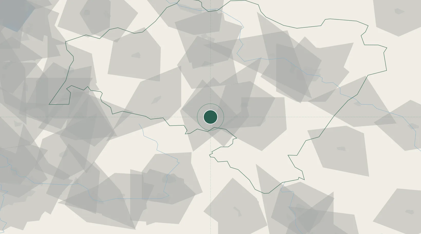
Hub Profile
Place type
District seat
Region
Lower Silesia
Population
16,726
Time zone
Europe/Warsaw
Elevation
581 m
Location
Nearby Logistics Neighbours
Cities
- 1Mieroszów9 km
- 2Jedlina-Zdrój10 km
- 3Mezimestí15 km
- 4Swidnica22 km
- 5Zdar nad Metuji22 km
Ports
- 1Szczecin317 km
- 2Police332 km
- 3Swinoujscie376 km
- 4Kolobrzeg388 km
- 5Wolgast402 km
Airports
- 1Copernicus Wrocław Airport62 km
- 2Pardubice Airport88 km
- 3Čáslav Air Base107 km
- 4Kostomlaty Airstrip108 km
- 5Rothenburg/Görlitz Airfield111 km
Trade Zones
DatabookThe Record of Consolidated Knowledge
Poland beyond logistics?