Transport Functions
Rail
Road
Border Crossing
Hub Profile
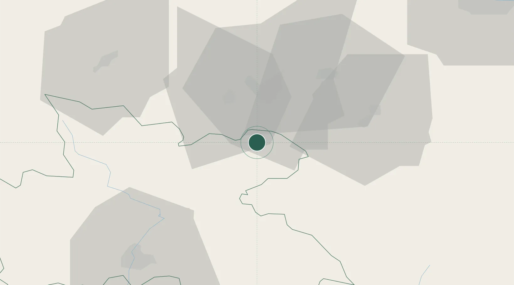
Place type
Populated place
Region
Královéhradecký kraj
Population
2,784
Time zone
Europe/Prague
Elevation
435 m
Location
Nearby Logistics Neighbours
Cities
- 1Mieroszów7 km
- 2Zdar nad Metuji8 km
- 3Ceska Metuje9 km
- 4Police nad Metují9 km
- 5Otovice12 km
Ports
- 1Szczecin332 km
- 2Police348 km
- 3Swinoujscie391 km
- 4Kolobrzeg403 km
- 5Wolgast417 km
Airports
- 1Copernicus Wrocław Airport70 km
- 2Pardubice Airport76 km
- 3Čáslav Air Base97 km
- 4Kostomlaty Airstrip104 km
- 5Rothenburg/Görlitz Airfield123 km
Trade Zones
DatabookThe Record of Consolidated Knowledge
Czechia beyond logistics?