Transport Functions
Rail
Road
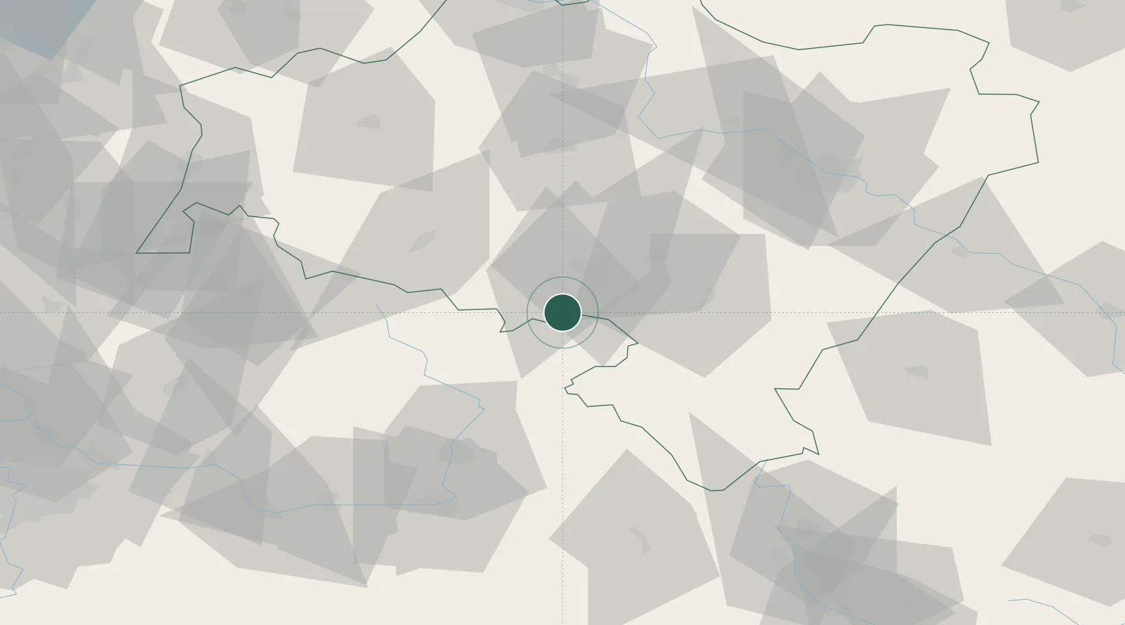
Hub Profile
Place type
Populated place
Region
Lower Silesia
Population
4,480
Time zone
Europe/Warsaw
Elevation
489 m
Location
Nearby Logistics Neighbours
Cities
- 1Mezimestí7 km
- 2Boguszów-Gorce9 km
- 3Jedlina-Zdrój13 km
- 4Ceska Metuje13 km
- 5Zdar nad Metuji13 km
Ports
- 1Szczecin326 km
- 2Police341 km
- 3Swinoujscie384 km
- 4Kolobrzeg397 km
- 5Wolgast410 km
Airports
- 1Copernicus Wrocław Airport69 km
- 2Pardubice Airport79 km
- 3Čáslav Air Base99 km
- 4Kostomlaty Airstrip103 km
- 5Rothenburg/Görlitz Airfield116 km
Trade Zones
DatabookThe Record of Consolidated Knowledge
Poland beyond logistics?