Transport Functions
Rail
Road
Hub Profile
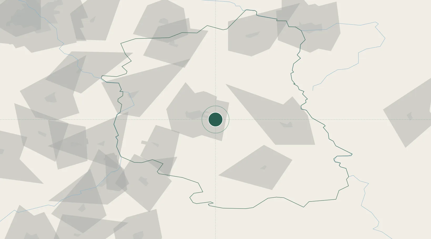
Place type
Populated place
Region
Lublin
Population
40,050
Time zone
Europe/Warsaw
Elevation
203 m
Location
Nearby Logistics Neighbours
Ports
- 1Kaliningrad419 km
- 2Baltiysk428 km
- 3Gdansk446 km
- 4Nowy Port452 km
- 5Gdynia467 km
Airports
- 1Lublin Airport7 km
- 2Deblin Military Air Base73 km
- 3Warsaw Radom Airport111 km
- 4Brest International Airport127 km
- 5Rzeszów-Jasionka Airport133 km
DatabookThe Record of Consolidated Knowledge
Poland beyond logistics?