Transport Functions
Rail
Road
Hub Profile
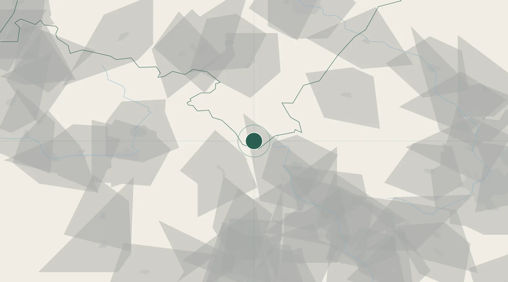
Place type
Populated place
Region
Lower Silesia
Population
2,766
Time zone
Europe/Warsaw
Elevation
444 m
Location
Nearby Logistics Neighbours
Cities
- 1Jablonné nad Orlicí14 km
- 2Cervená Voda14 km
- 3Rokytnice v Orlickych Horach14 km
- 4Bystrzyca Klodzka17 km
- 5Vermerovice18 km
Ports
- 1Szczecin391 km
- 2Police406 km
- 3Swinoujscie450 km
- 4Kolobrzeg459 km
- 5Wolgast476 km
Airports
- 1Pardubice Airport68 km
- 2Čáslav Air Base95 km
- 3Přerov Air Base96 km
- 4Copernicus Wrocław Airport107 km
- 5Brno-Tuřany Airport111 km
Trade Zones
DatabookThe Record of Consolidated Knowledge
Poland beyond logistics?