Transport Functions
Port
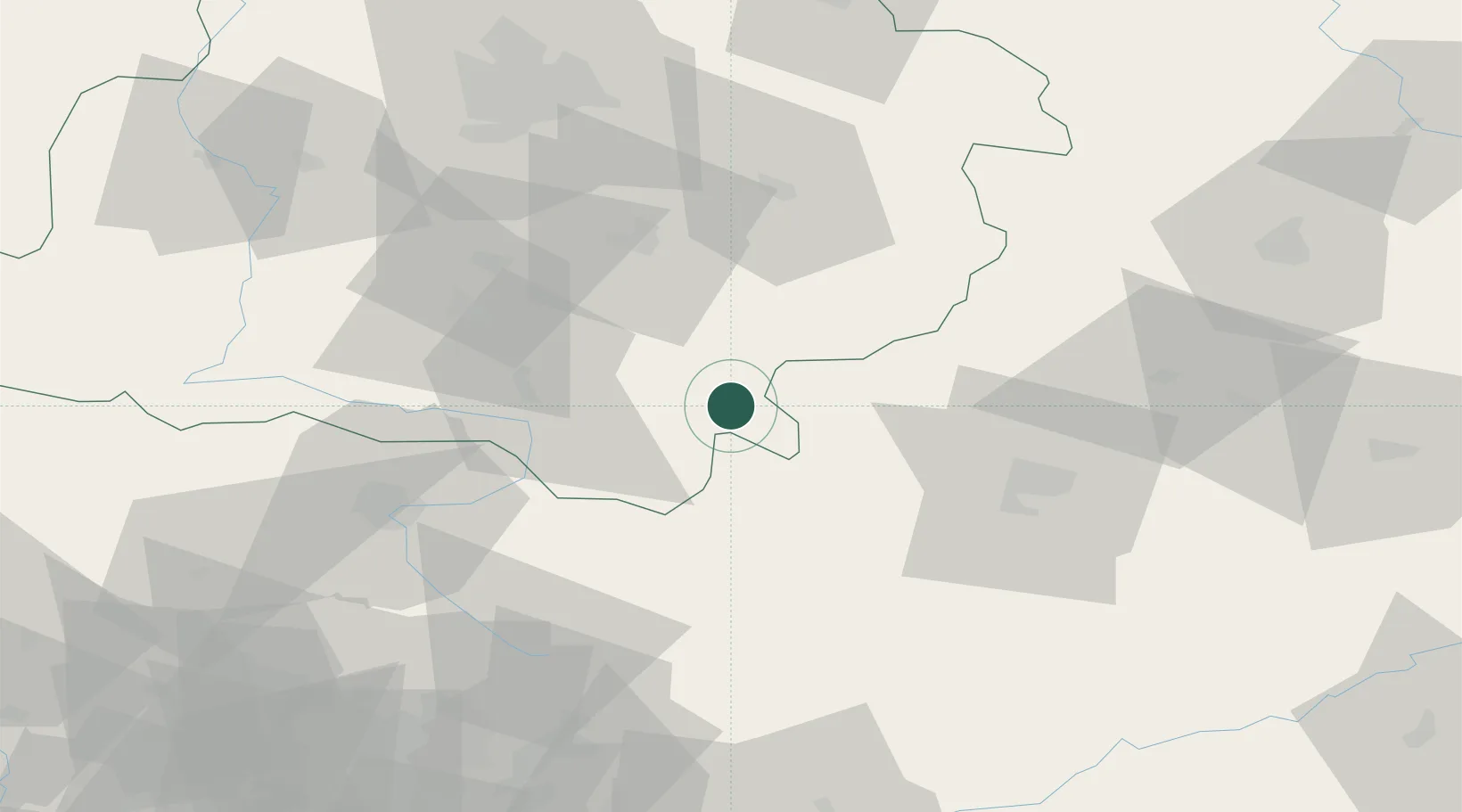
Location
Nearby Logistics Neighbours
Cities
- 1Karczew13 km
- 2Wloszczowa21 km
- 3Dabrowa Zielona32 km
- 4Nowa Wies33 km
- 5Sulejów35 km
Ports
- 1Gdansk376 km
- 2Nowy Port383 km
- 3Gdynia398 km
- 4Baltiysk398 km
- 5Kaliningrad408 km
Airports
Trade Zones
- 1Starachowice SEZ (SSE Starachowice)82 km
- 2Łódź SEZ (ōódzka SSE)84 km
- 3East-West Duty Free Zone111 km
- 4Kraków Technology Park114 km
- 5Katowice SEZ (Katowicka SSE)118 km
DatabookThe Record of Consolidated Knowledge
Poland beyond logistics?