Transport Functions
Road
Multimodal
Hub Profile
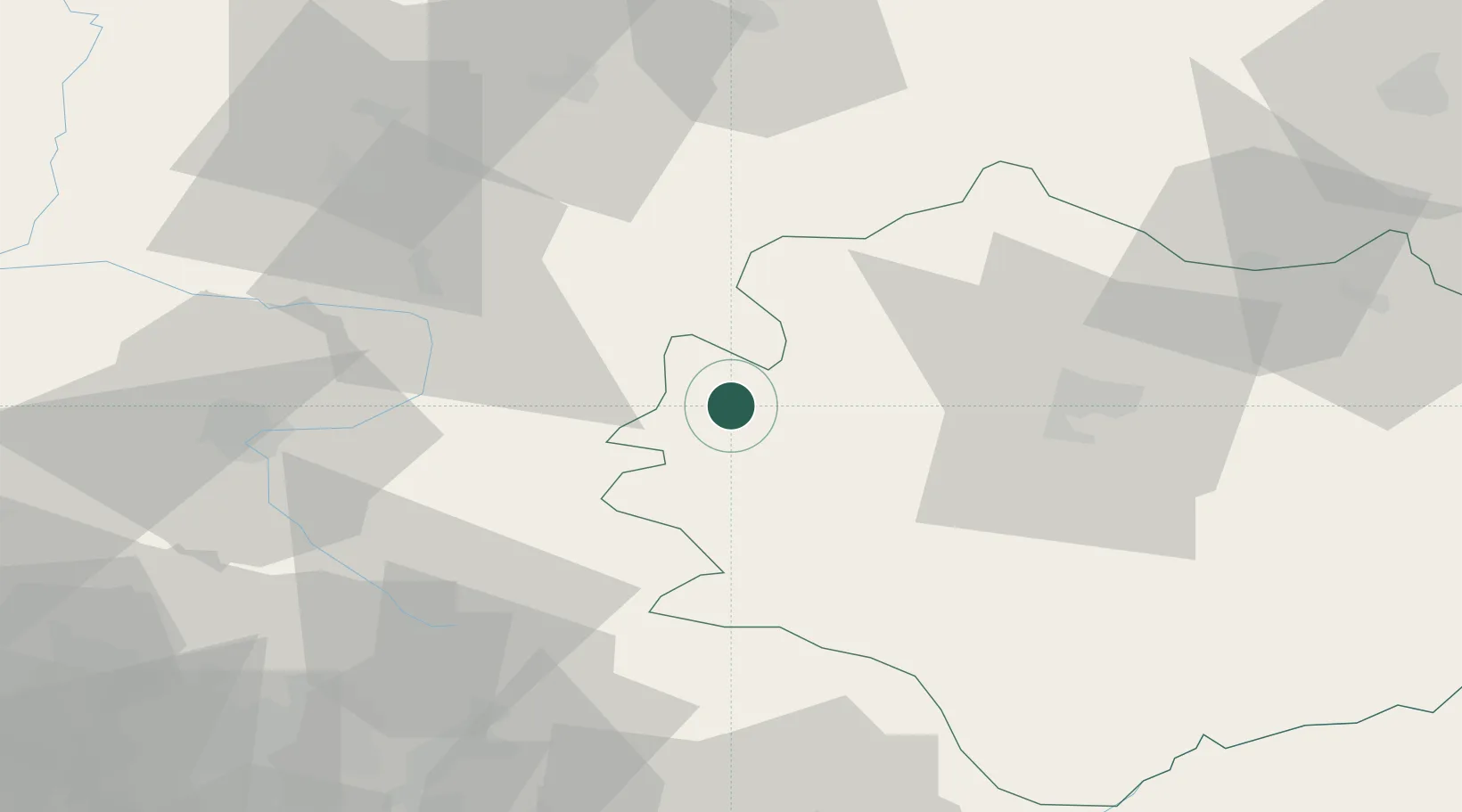
Place type
District seat
Region
Świętokrzyskie
Population
10,661
Time zone
Europe/Warsaw
Elevation
239 m
Location
Nearby Logistics Neighbours
Cities
- 1Brzostek Policzko21 km
- 2Karczew26 km
- 3Dabrowa Zielona28 km
- 4Nowa Wies30 km
- 5Jedrzejow35 km
Ports
- 1Gdansk397 km
- 2Nowy Port404 km
- 3Gdynia419 km
- 4Baltiysk419 km
- 5Kaliningrad428 km
Airports
Trade Zones
DatabookThe Record of Consolidated Knowledge
Poland beyond logistics?