Transport Functions
Rail
Road
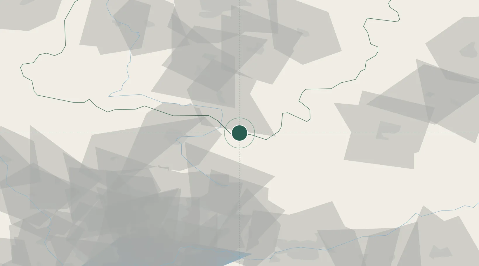
Hub Profile
Place type
District seat
Region
Silesia
Population
881
Time zone
Europe/Warsaw
Elevation
248 m
Location
Nearby Logistics Neighbours
Cities
- 1Nowa Wies3 km
- 2Karczew23 km
- 3Wloszczowa28 km
- 4Poraj32 km
- 5Brzostek Policzko32 km
Ports
- 1Gdansk394 km
- 2Nowy Port401 km
- 3Gdynia415 km
- 4Baltiysk421 km
- 5Kaliningrad433 km
Airports
Trade Zones
DatabookThe Record of Consolidated Knowledge
Poland beyond logistics?