Medium airport · Poland

Tomaszów Mazowiecki Military Air BaseEPTM
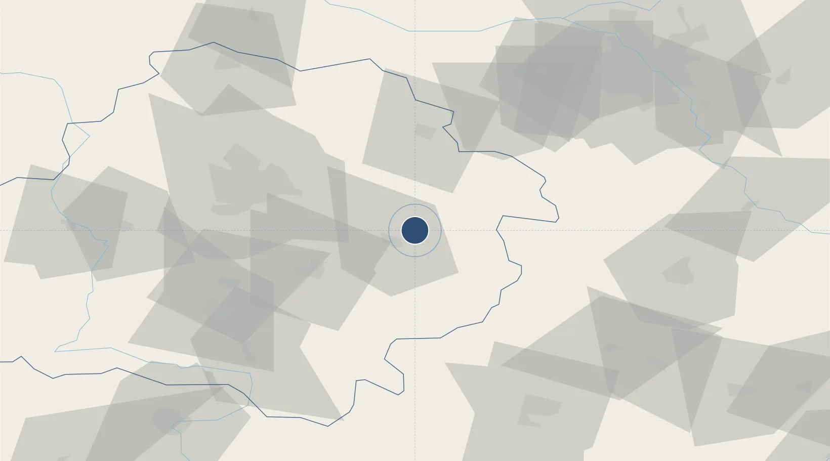
51.5844°, 20.0978°
6,560 ft
Longest runway
1
Runways
571 ft
Elevation

Runway & Layout

Tomaszów Mazowiecki Military Air Base runway & taxiway layout
Runway & taxiway layout — OpenStreetMap (ODbL) / OurAirports

Radio Frequencies

Wieża
125 MHz
Tomaszów wieża
Zbliżanie
130.25 MHz
Tomaszów zbliżenie
OurAirports

Runways · 1

RunwayDimensions SurfaceTrue headingLit
11/29 6,560 × 197ft Asphalt 116°
OurAirports

Airport Specifications

ICAO code
EPTM
OurAirports
Airport class
Medium airport
OurAirports
Scheduled service
No
OurAirports
Runway surface
Asphalt
OurAirports
Served city
Nowy Glinnik
OurAirports

Location

Location of EPTM
Natural Earth 10m (public domain) · Łódź · EPTM · 51.58, 20.10GoogleOSMYandex

Nearby Logistics Neighbours

Airports
  1. 1Łódź Władysław Reymont Airport51 km
  2. 2Łask Air Base64 km
  3. 3Warsaw Radom Airport80 km
  4. 4Leźnica Wielka Air Base81 km
  5. 5Warsaw Chopin Airport88 km
Nearest neighbours — logibook spatial index (haversine) over the source coordinates
Cities
  1. 1Wolbórz21 km
  2. 2Sulejów28 km
  3. 3Bialaczów35 km
  4. 4Piotrków Trybunalski35 km
  5. 5Kruszow37 km
Nearest neighbours — logibook spatial index (haversine) over the source coordinates
Ports
  1. 1Gdansk322 km
  2. 2Nowy Port329 km
  3. 3Baltiysk339 km
  4. 4Gdynia344 km
  5. 5Kaliningrad347 km
Nearest neighbours — logibook spatial index (haversine) over the source coordinates
Trade Zones
  1. 1Łódź SEZ (ōódzka SSE)47 km
  2. 2East-West Duty Free Zone52 km
  3. 3Warsaw Airport Duty Free Zone88 km
  4. 4Starachowice SEZ (SSE Starachowice)91 km
  5. 5Tarnobrzeg SEZ Euro-Park Wisłosan (Tarnobrzeska SSE)151 km
Nearest neighbours — logibook spatial index (haversine) over the source coordinates
DatabookThe Record of Consolidated Knowledge
Poland beyond logistics?
Browse databook

All Sources

AirportsOurAirports
Public domain
Portsthe NGA World Port Index
Public domain (US gov)
LocationsUN/LOCODE
UN/LOCODE — free
Trade Zonesthe World Bank SEZ database
CC BY 4.0
Trade ZonesOpen Zone Map
CC BY
InfrastructureOpenStreetMap
ODbL 1.0
← Poland airports