Medium airport · Poland

Warsaw Radom AirportEPRA
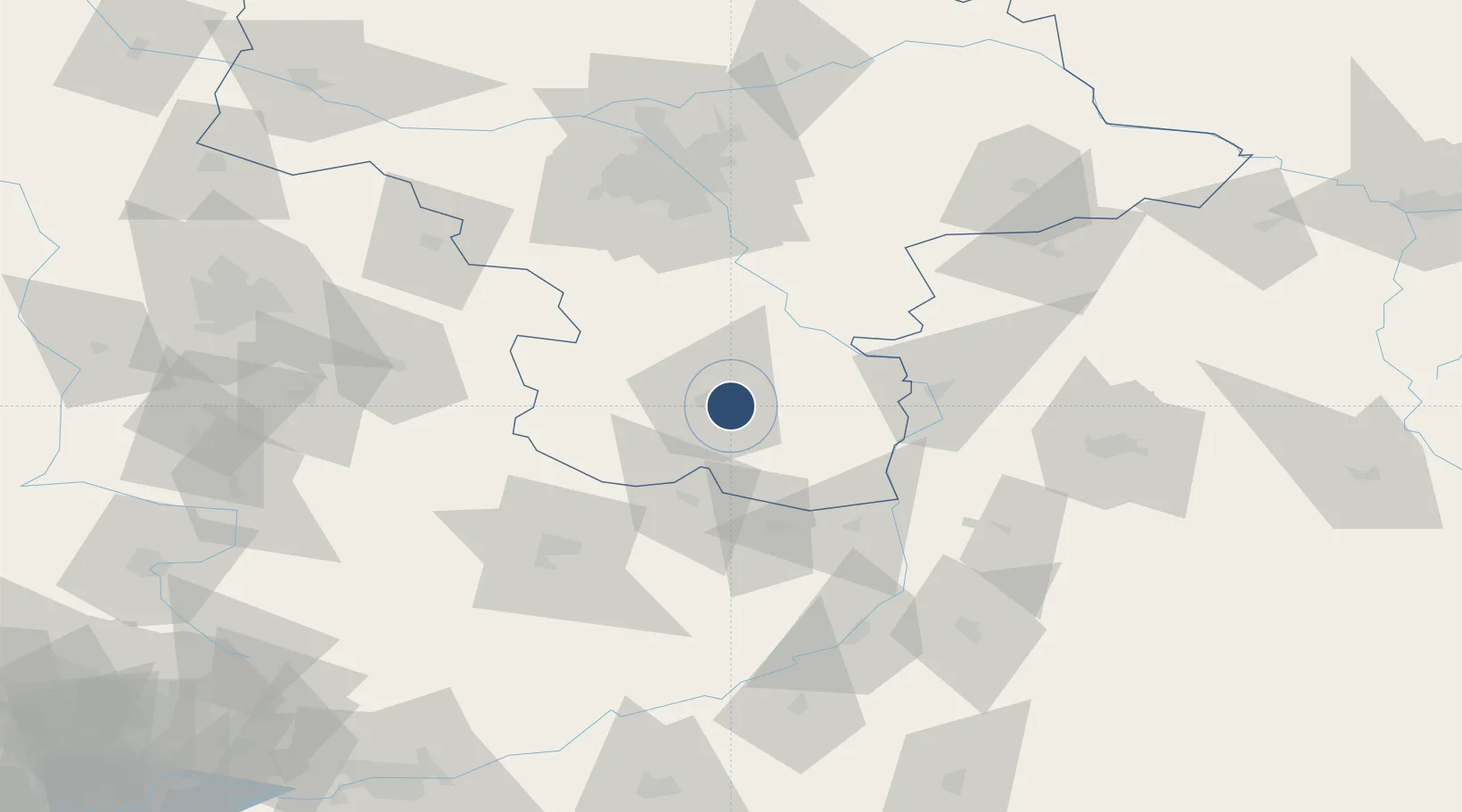
51.3894°, 21.2147°
8,202 ft
Longest runway
1
Runways
610 ft
Elevation

Runway & Layout

Warsaw Radom Airport runway & taxiway layout
Runway & taxiway layout — OpenStreetMap (ODbL) / OurAirports

Radio Frequencies

AFIS
128.5 MHz
INFO
OurAirports

Runways · 1

RunwayDimensions SurfaceTrue headingLit
07/25 8,202 × 148ft Asphalt 075°
OurAirports

Airport Specifications

IATA code
RDO
OurAirports
ICAO code
EPRA
OurAirports
Airport class
Medium airport
OurAirports
Scheduled service
Yes
OurAirports
Runway surface
Asphalt
OurAirports
Served city
Radom
OurAirports

Location

Location of EPRA
Natural Earth 10m (public domain) · Masovian · EPRA · 51.39, 21.21GoogleOSMYandex

Nearby Logistics Neighbours

Airports
  1. 1Deblin Military Air Base50 km
  2. 2Tomaszów Mazowiecki Military Air Base80 km
  3. 3Warsaw Chopin Airport88 km
  4. 4Minsk Mazowiecki Military Air Base95 km
  5. 5Lublin Airport106 km
Nearest neighbours — logibook spatial index (haversine) over the source coordinates
Cities
  1. 1Skaryszew11 km
  2. 2Kowala Stepocina11 km
  3. 3Policzna30 km
  4. 4Zawonia30 km
  5. 5Dabrówka31 km
Nearest neighbours — logibook spatial index (haversine) over the source coordinates
Ports
  1. 1Gdansk371 km
  2. 2Baltiysk371 km
  3. 3Kaliningrad371 km
  4. 4Nowy Port378 km
  5. 5Gdynia392 km
Nearest neighbours — logibook spatial index (haversine) over the source coordinates
Trade Zones
  1. 1Starachowice SEZ (SSE Starachowice)41 km
  2. 2East-West Duty Free Zone82 km
  3. 3Lublin Subzone (of Euro-Park Mielec)86 km
  4. 4Warsaw Airport Duty Free Zone88 km
  5. 5Tarnobrzeg SEZ Euro-Park Wisłosan (Tarnobrzeska SSE)93 km
Nearest neighbours — logibook spatial index (haversine) over the source coordinates
DatabookThe Record of Consolidated Knowledge
Poland beyond logistics?
Browse databook

All Sources

AirportsOurAirports
Public domain
Portsthe NGA World Port Index
Public domain (US gov)
LocationsUN/LOCODE
UN/LOCODE — free
Trade Zonesthe World Bank SEZ database
CC BY 4.0
Trade ZonesOpen Zone Map
CC BY
InfrastructureOpenStreetMap
ODbL 1.0
← Poland airports