Transport Functions
Multimodal
Hub Profile
Place type
Populated place
Region
Silesia
Time zone
Europe/Warsaw
Elevation
231 m
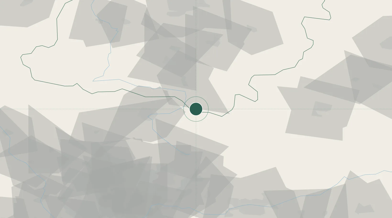
Location
Nearby Logistics Neighbours
Cities
- 1Dabrowa Zielona3 km
- 2Karczew23 km
- 3Wloszczowa30 km
- 4Jedlno31 km
- 5Poraj32 km
Ports
- 1Gdansk392 km
- 2Nowy Port399 km
- 3Gdynia413 km
- 4Baltiysk420 km
- 5Kaliningrad431 km
Airports
Trade Zones
DatabookThe Record of Consolidated Knowledge
Poland beyond logistics?