Medium airport · Poland
Łask Air BaseEPLK
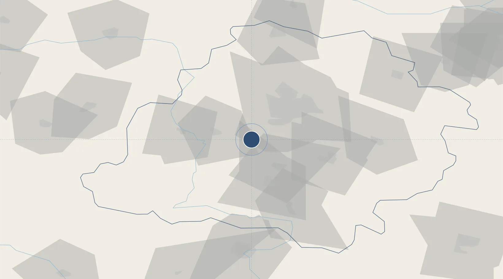
51.5517°, 19.1791°
9,843 ft
Longest runway
1
Runways
633 ft
Elevation
Runway & Layout

Radio Frequencies
ATIS
126.385 MHz
Łask ATIS
AFIS
128.5 MHz
INFO
Wieża
133.075 MHz
Łask wieża
Zbliżanie
125.35 MHz
Łask zbliżanie
Navaids
T NDB Lask 664 kHz
TZ NDB Lask 322 kHz
Runways · 1
| Runway | Dimensions | Surface | True heading | Lit |
|---|---|---|---|---|
| 10/28 | 9,843 × 197ft | Concrete | 108° | ✓ |
Airport Specifications
ICAO code
EPLK
Airport class
Medium airport
Scheduled service
No
Runway surface
Concrete
Served city
Łask
Location
Nearby Logistics Neighbours
Airports
Cities
- 1Pabianice17 km
- 2Szadek20 km
- 3Wola Zaradzynska22 km
- 4Ksawerów22 km
- 5Lutomiersk22 km
Ports
- 1Gdansk313 km
- 2Nowy Port320 km
- 3Gdynia334 km
- 4Baltiysk346 km
- 5Kaliningrad361 km
Trade Zones
DatabookThe Record of Consolidated Knowledge
Poland beyond logistics?