Transport Functions
Multimodal
Hub Profile
Place type
District seat
Region
Łódź Voivodeship
Population
6,332
Time zone
Europe/Warsaw
Elevation
168 m
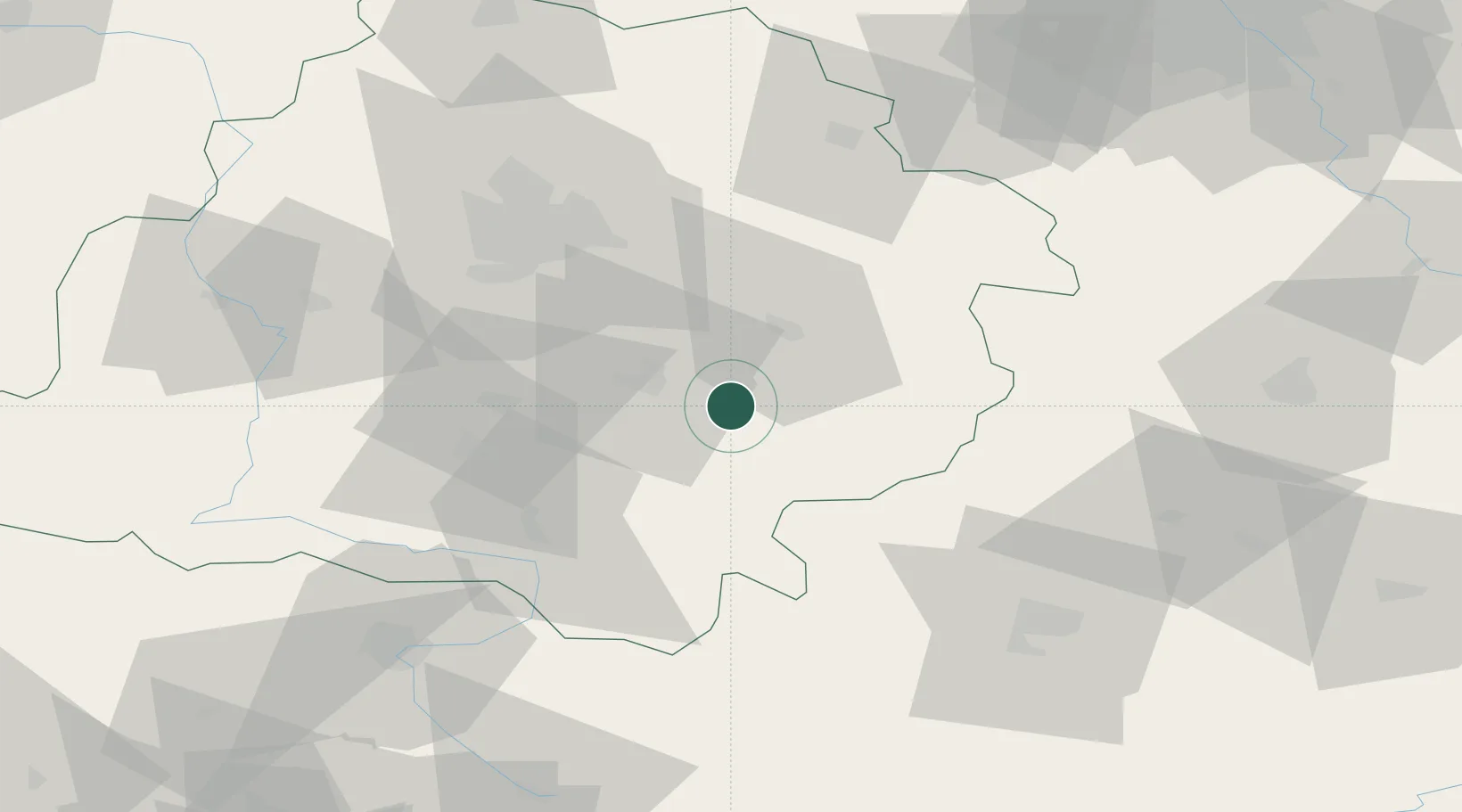
Location
Nearby Logistics Neighbours
Cities
- 1Piotrków Trybunalski14 km
- 2Wolbórz15 km
- 3Wola Krzysztoporska21 km
- 4Bialaczów30 km
- 5Kruszow33 km
Ports
- 1Gdansk342 km
- 2Nowy Port349 km
- 3Baltiysk363 km
- 4Gdynia363 km
- 5Kaliningrad373 km
Airports
Trade Zones
DatabookThe Record of Consolidated Knowledge
Poland beyond logistics?