Transport Functions
Multimodal
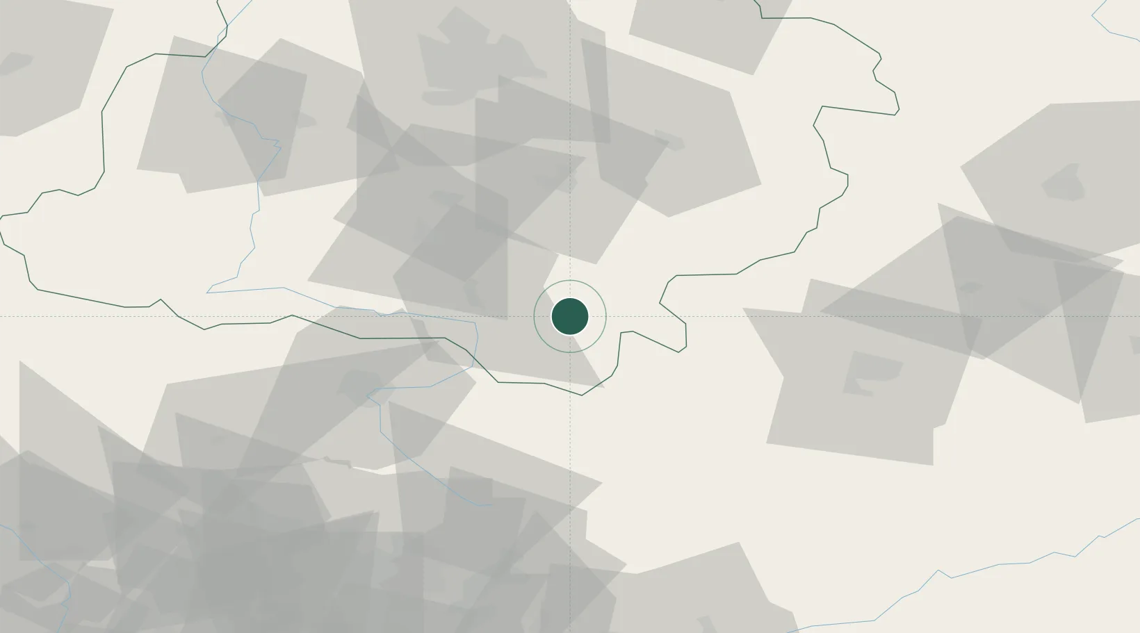
Hub Profile
Place type
Populated place
Region
Łódź Voivodeship
Time zone
Europe/Warsaw
Elevation
243 m
Location
Nearby Logistics Neighbours
Cities
- 1Brzostek Policzko13 km
- 2Nowa Wies23 km
- 3Dabrowa Zielona23 km
- 4Wloszczowa26 km
- 5Jedlno33 km
Ports
- 1Gdansk376 km
- 2Nowy Port383 km
- 3Gdynia397 km
- 4Baltiysk401 km
- 5Kaliningrad411 km
Airports
Trade Zones
DatabookThe Record of Consolidated Knowledge
Poland beyond logistics?