Export Processing Zone · Pakistan

Al-Tuwairqi Steel Mill Export Processing Zone Active
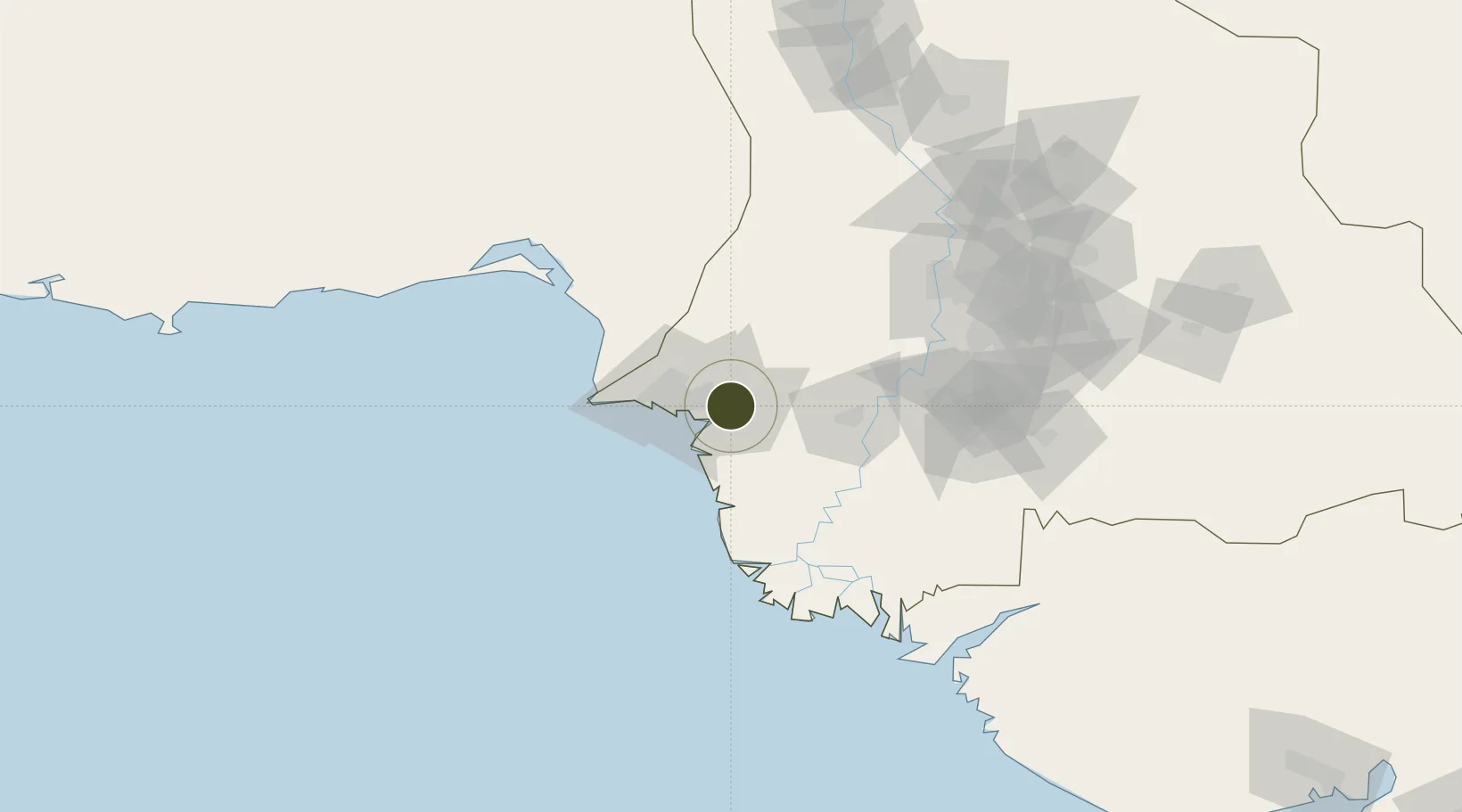
24.8245°, 67.3428°
89 ha
Zone area
6.5 km
Nearest port
20.5 km
Nearest airport

Gateway access

Nearest neighbours — logibook spatial index (haversine) over the source coordinates

Zone profile

Zone type
Export Processing Zone
Open Zone Map
Region
Sind
Open Zone Map
Status
Active
Open Zone Map
Management
Private
Open Zone Map
Operator
POSCO South Korea / Al-Tuwairqi Group of KSA
Open Zone Map
Legal framework
Export Processing Zones Authority Ordinance 1980 (IV of 1980);
Open Zone Map

Location

Location of ozm-3040
Natural Earth 10m (public domain) · Sind · ozm-3040 · 24.82, 67.34GoogleOSMYandex

Nearby Logistics Neighbours

Ports
  1. 1Muhamamad Bin Qasim7 km
  2. 2Karachi37 km
  3. 3Mandvi301 km
  4. 4Okha316 km
  5. 5Mundra335 km
Nearest neighbours — logibook spatial index (haversine) over the source coordinates
Airports
  1. 1Jinnah International Airport21 km
  2. 2Faisal Air Base23 km
  3. 3Masroor Air Base42 km
  4. 4Hyderabad Airport117 km
  5. 5Sehwan Sharif Airport187 km
Nearest neighbours — logibook spatial index (haversine) over the source coordinates
Cities
  1. 1Muhammad Bin Qasim/Karachi5 km
  2. 2Karachi Freight Terminal32 km
  3. 3Karachi33 km
  4. 4Kiamari38 km
  5. 5Karachi Container Terminal38 km
Nearest neighbours — logibook spatial index (haversine) over the source coordinates
Trade Zones
  1. 1Industrial Park Pakistan Steel Mills Port Qasim1 km
  2. 2Quaid-E-Azim Apparel Park4 km
  3. 3Bin Qasim Special Economic Zone5 km
  4. 4Karachi Export Processing Zone10 km
  5. 5Karachi Export Processing Zone11 km
Nearest neighbours — logibook spatial index (haversine) over the source coordinates
DatabookThe Record of Consolidated Knowledge
Pakistan beyond logistics?
Browse databook

All Sources

Trade ZonesOpen Zone Map
CC BY
Portsthe NGA World Port Index
Public domain (US gov)
AirportsOurAirports
Public domain
LocationsUN/LOCODE
UN/LOCODE — free
← Pakistan trade zones