Free Trade Zone · Philippines
HPS Building Active
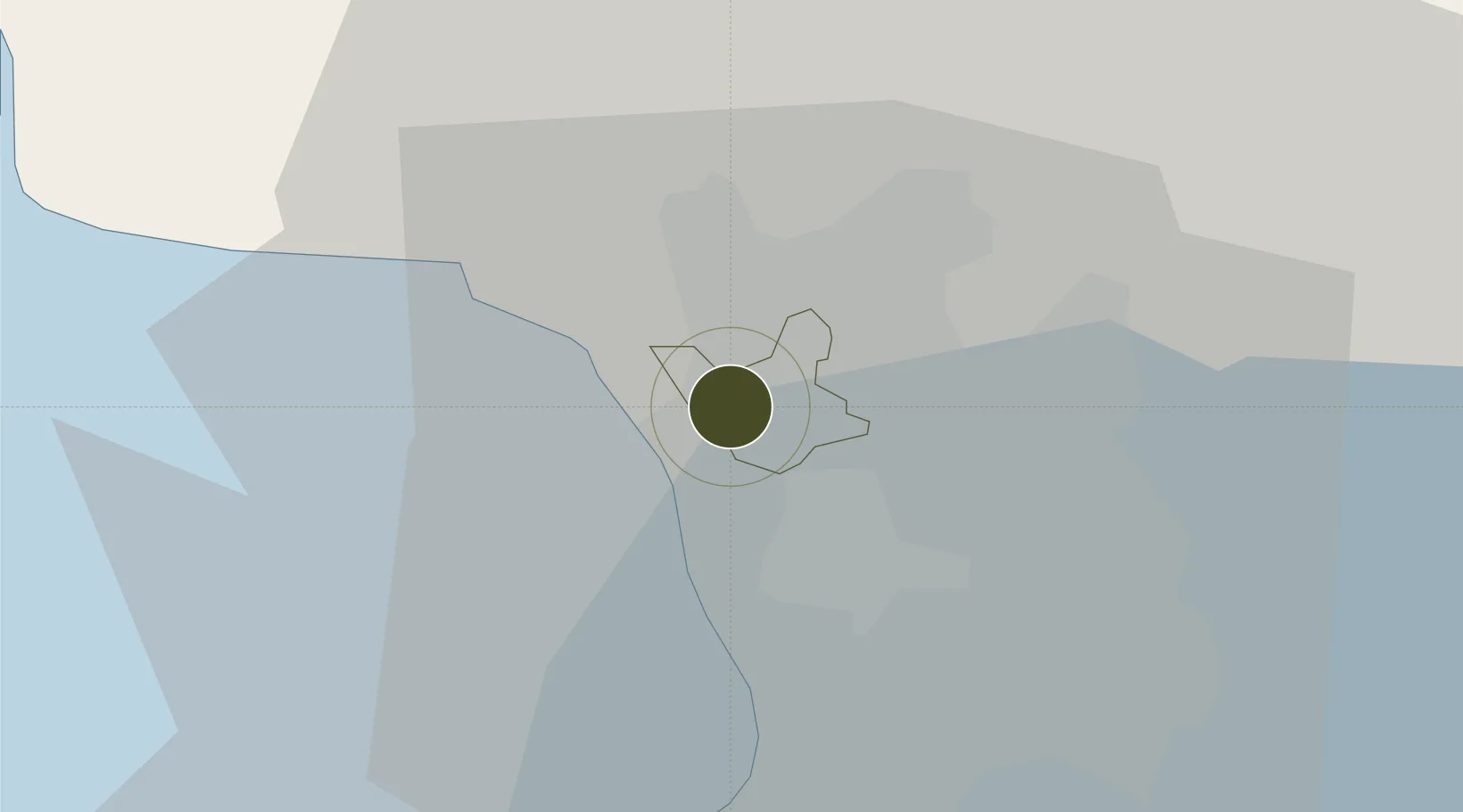
14.6921°, 120.9706°
1 ha
Zone area
12.1 km
Nearest port
21.1 km
Nearest airport
Gateway access
Zone profile
Zone type
Free Trade Zone
Region
Valenzuela
Status
Active
Management
Private
Operator
HPS Software & Communication Corp.
Legal framework
Special Economic Zone Act (Republic Act No. 7916) (as amended by Republic Act No. 8748)
Location
Nearby Logistics Neighbours
Ports
- 1Manila12 km
- 2Mariveles60 km
- 3Subic Bay77 km
- 4Nasugbu78 km
- 5Batangas City105 km
Airports
Cities
- 1Valenzuela1 km
- 2Caloocan City5 km
- 3Navotas6 km
- 4San Juan9 km
- 5Quezon City9 km
Trade Zones
DatabookThe Record of Consolidated Knowledge
Philippines beyond logistics?