Transport Functions
Port
Road
Hub Profile
Region
CAT
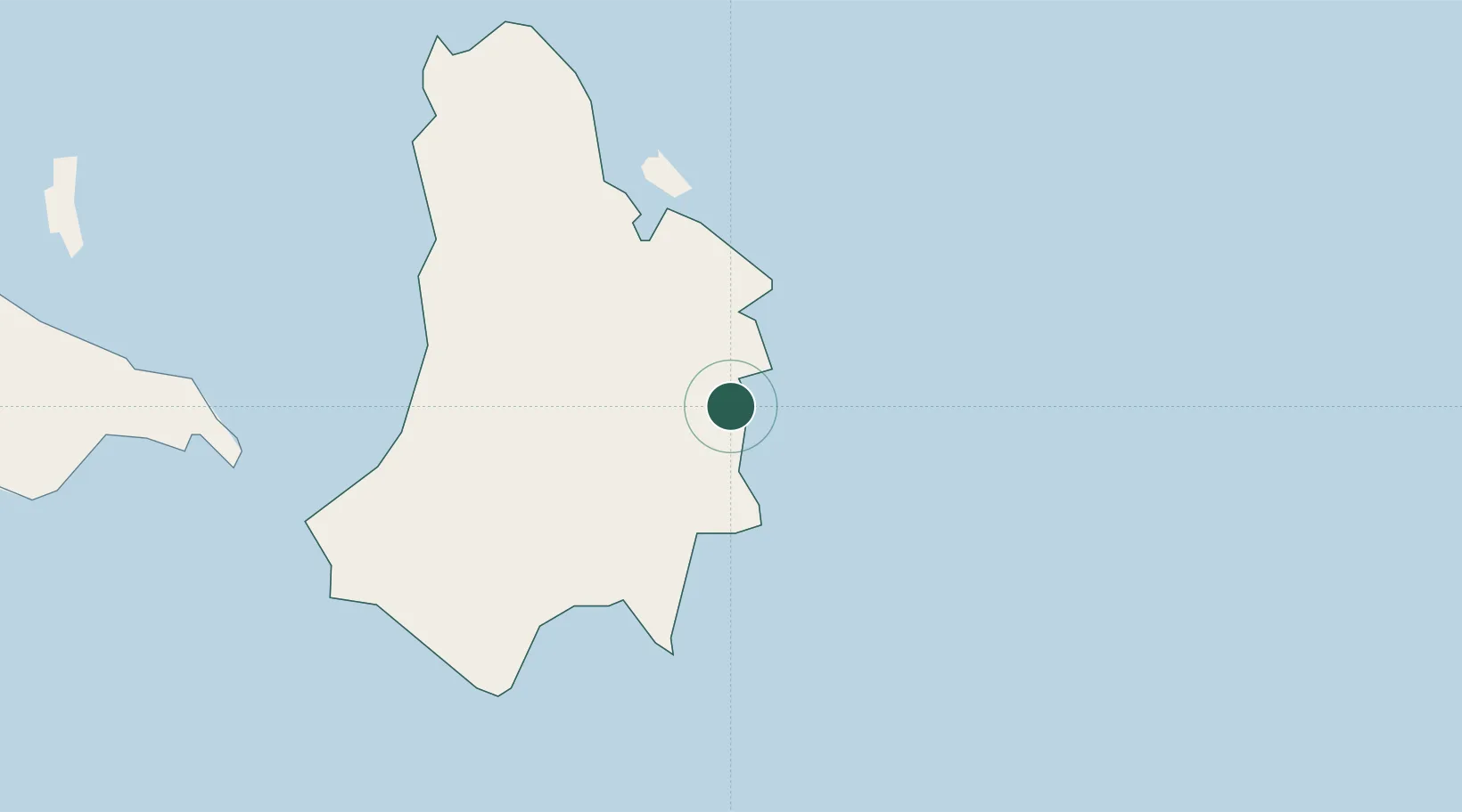
Location
Nearby Logistics Neighbours
Cities
- 1Tabaco/Legaspi84 km
- 2Legaspi Apt, Luzon98 km
- 3Changtu115 km
- 4Naga, Luzon133 km
- 5Calbayog, Samar191 km
Ports
- 1Virac25 km
- 2Tabaco83 km
- 3Legazpi Port97 km
- 4Sorsogon98 km
- 5Masbate176 km
Airports
- 1Virac Airport29 km
- 2Bicol International Airport106 km
- 3Naga Airport122 km
- 4Catarman National Airport143 km
- 5Daet Airport157 km
Trade Zones
DatabookThe Record of Consolidated Knowledge
Philippines beyond logistics?