Diversified Zone · Philippines

First Batangas Industrial Park Active
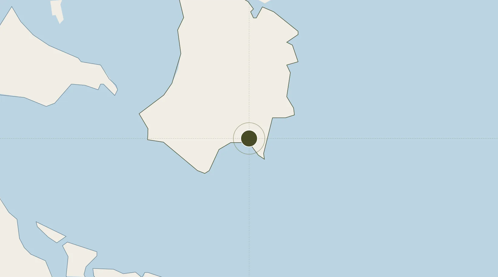
13.6091°, 124.2972°
53 ha
Zone area
5.9 km
Nearest port
10.5 km
Nearest airport

Gateway access

Nearest neighbours — logibook spatial index (haversine) over the source coordinates

Zone profile

Zone type
Diversified Zone
Open Zone Map
Region
Catanduanes
Open Zone Map
Status
Active
Open Zone Map
Management
Private
Open Zone Map
Operator
First Batangas Industrial Inc.
Open Zone Map
Legal framework
Special Economic Zone Act (Republic Act No. 7916) (as amended by Republic Act No. 8748)
Open Zone Map

Location

Location of ozm-3149
Natural Earth 10m (public domain) · Catanduanes · ozm-3149 · 13.61, 124.30GoogleOSMYandex

Nearby Logistics Neighbours

Ports
  1. 1Virac6 km
  2. 2Tabaco67 km
  3. 3Legazpi Port78 km
  4. 4Sorsogon78 km
  5. 5Masbate157 km
Nearest neighbours — logibook spatial index (haversine) over the source coordinates
Airports
  1. 1Virac Airport11 km
  2. 2Bicol International Airport87 km
  3. 3Naga Airport111 km
  4. 4Catarman National Airport129 km
  5. 5Daet Airport154 km
Nearest neighbours — logibook spatial index (haversine) over the source coordinates
Cities
  1. 1Gigmoto, Catanduanes20 km
  2. 2Tabaco/Legaspi67 km
  3. 3Legaspi Apt, Luzon79 km
  4. 4Changtu96 km
  5. 5Naga, Luzon122 km
Nearest neighbours — logibook spatial index (haversine) over the source coordinates
Trade Zones
  1. 1Rapu-Rapu Ecozone49 km
  2. 2Misibis Resorts and Estates59 km
  3. 3Peter Paul Industrial Ecozone - Sorsogon76 km
  4. 4Embarcadero de Legazpi78 km
  5. 5Gernarine Information Technology Center79 km
Nearest neighbours — logibook spatial index (haversine) over the source coordinates
DatabookThe Record of Consolidated Knowledge
Philippines beyond logistics?
Browse databook

All Sources

Trade ZonesOpen Zone Map
CC BY
Portsthe NGA World Port Index
Public domain (US gov)
AirportsOurAirports
Public domain
LocationsUN/LOCODE
UN/LOCODE — free
← Philippines trade zones