Medium airport · Philippines
Naga AirportRPUN
13.5849°, 123.2700°
4,599 ft
Longest runway
1
Runways
142 ft
Elevation
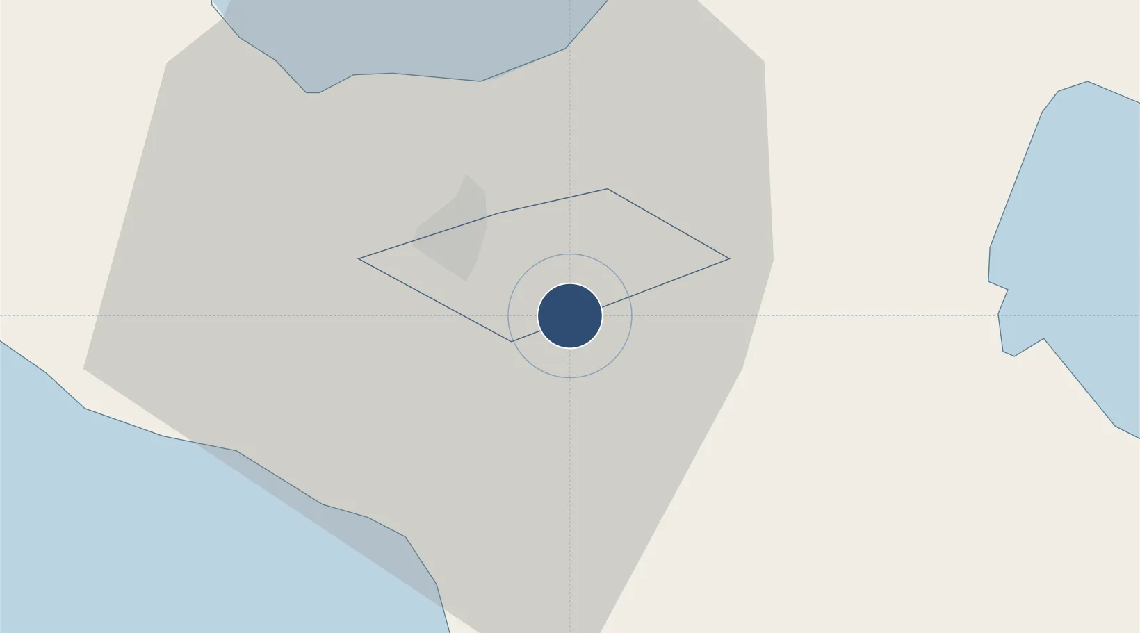
Runway & Layout

Radio Frequencies
TWR
122.1 MHz
FSS
122.1 MHz
RDO
Navaids
NGA VOR-DME Naga 114.70 MHz
Runways · 1
| Runway | Dimensions | Surface | True heading | Lit |
|---|---|---|---|---|
| 04/22 | 4,599 × 98ft | Concrete | 045° | ✓ |
Airport Specifications
IATA code
WNP
ICAO code
RPUN
Airport class
Medium airport
Scheduled service
Yes
Runway surface
Concrete
Served city
Naga
Location
Nearby Logistics Neighbours
Airports
- 1Daet Airport68 km
- 2Bicol International Airport69 km
- 3Virac Airport101 km
- 4Moises R. Espinosa Airport141 km
- 5Marinduque Airport158 km
Cities
- 1Naga, Luzon12 km
- 2Tabaco/Legaspi57 km
- 3Legaspi Apt, Luzon72 km
- 4Gigmoto, Catanduanes122 km
- 5Changtu128 km
Ports
- 1Tabaco56 km
- 2Legazpi Port71 km
- 3Jose Panganiban100 km
- 4Sorsogon105 km
- 5Virac106 km
DatabookThe Record of Consolidated Knowledge
Philippines beyond logistics?