Specialized Zone · Philippines

Embarcadero de Legazpi Active
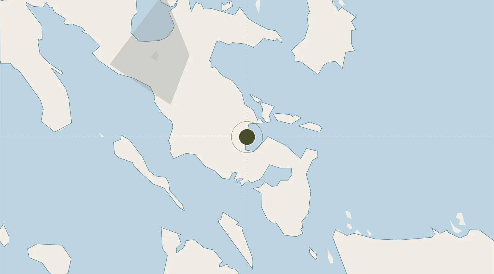
13.1434°, 123.7562°
6 ha
Zone area
1.0 km
Nearest port
9.3 km
Nearest airport

Gateway access

Nearest neighbours — logibook spatial index (haversine) over the source coordinates

Zone profile

Zone type
Specialized Zone
Open Zone Map
Specialization
Tourism
Open Zone Map
Region
Albay
Open Zone Map
Status
Active
Open Zone Map
Management
Public-Private Partnership
Open Zone Map
Operator
Embarcadero Land Ventures, Inc
Open Zone Map
Legal framework
Special Economic Zone Act (Republic Act No. 7916) (as amended by Republic Act No. 8748)
Open Zone Map

Location

Location of ozm-3912
Natural Earth 10m (public domain) · Albay · ozm-3912 · 13.14, 123.76GoogleOSMYandex

Nearby Logistics Neighbours

Ports
  1. 1Legazpi Port1 km
  2. 2Tabaco25 km
  3. 3Sorsogon33 km
  4. 4Virac72 km
  5. 5Masbate88 km
Nearest neighbours — logibook spatial index (haversine) over the source coordinates
Airports
  1. 1Bicol International Airport9 km
  2. 2Virac Airport69 km
  3. 3Naga Airport72 km
  4. 4Moises R. Espinosa Airport87 km
  5. 5Catarman National Airport119 km
Nearest neighbours — logibook spatial index (haversine) over the source coordinates
Cities
  1. 1Legaspi Apt, Luzon1 km
  2. 2Tabaco/Legaspi23 km
  3. 3Changtu56 km
  4. 4Naga, Luzon83 km
  5. 5Gigmoto, Catanduanes97 km
Nearest neighbours — logibook spatial index (haversine) over the source coordinates
Trade Zones
  1. 1Gernarine Information Technology Center2 km
  2. 2Legaspi City Special Economic Zone4 km
  3. 3Misibis Resorts and Estates20 km
  4. 4Peter Paul Industrial Ecozone - Sorsogon34 km
  5. 5Rapu-Rapu Ecozone49 km
Nearest neighbours — logibook spatial index (haversine) over the source coordinates
DatabookThe Record of Consolidated Knowledge
Philippines beyond logistics?
Browse databook

All Sources

Trade ZonesOpen Zone Map
CC BY
Portsthe NGA World Port Index
Public domain (US gov)
AirportsOurAirports
Public domain
LocationsUN/LOCODE
UN/LOCODE — free
← Philippines trade zones