Medium airport · Philippines
Virac AirportRPUV
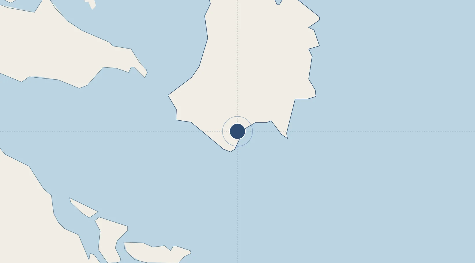
13.5764°, 124.2060°
5,118 ft
Longest runway
1
Runways
121 ft
Elevation
Runway & Layout

Radio Frequencies
FSS
122.2 MHz
RDO
Navaids
VC NDB Virac 268 kHz
Runways · 1
| Runway | Dimensions | Surface | True heading | Lit |
|---|---|---|---|---|
| 06/24 | 5,118 × 98ft | Concrete | 060° | ✓ |
Airport Specifications
IATA code
VRC
ICAO code
RPUV
Airport class
Medium airport
Scheduled service
Yes
Runway surface
Concrete
Served city
Virac
Location
Nearby Logistics Neighbours
Airports
- 1Bicol International Airport77 km
- 2Naga Airport101 km
- 3Catarman National Airport128 km
- 4Daet Airport146 km
- 5Moises R. Espinosa Airport148 km
Cities
- 1Gigmoto, Catanduanes29 km
- 2Tabaco/Legaspi57 km
- 3Legaspi Apt, Luzon70 km
- 4Changtu91 km
- 5Naga, Luzon112 km
Ports
- 1Virac5 km
- 2Tabaco56 km
- 3Legazpi Port68 km
- 4Sorsogon71 km
- 5Masbate149 km
Trade Zones
DatabookThe Record of Consolidated Knowledge
Philippines beyond logistics?