Transport Functions
Port
Road
Airport
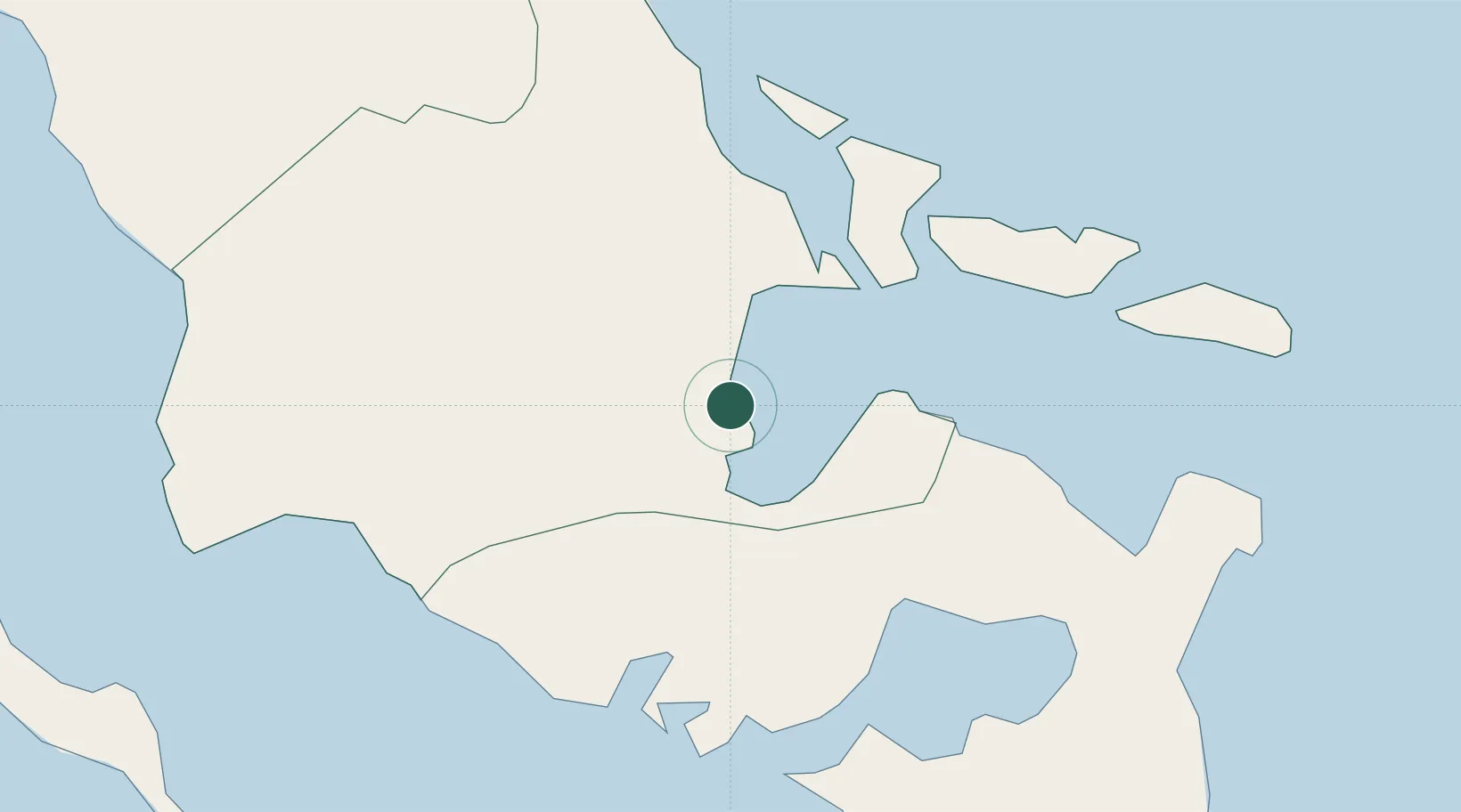
Location
Nearby Logistics Neighbours
Cities
- 1Tabaco/Legaspi24 km
- 2Changtu56 km
- 3Naga, Luzon83 km
- 4Gigmoto, Catanduanes98 km
- 5Cajidiocan, Visayan Isl144 km
Ports
- 1Tabaco26 km
- 2Sorsogon33 km
- 3Virac74 km
- 4Masbate87 km
- 5Port Romblon172 km
Airports
- 1Bicol International Airport8 km
- 2Virac Airport70 km
- 3Naga Airport72 km
- 4Moises R. Espinosa Airport86 km
- 5Catarman National Airport119 km
DatabookThe Record of Consolidated Knowledge
Philippines beyond logistics?