Diversified Zone · Philippines

Rapu-Rapu Ecozone Active
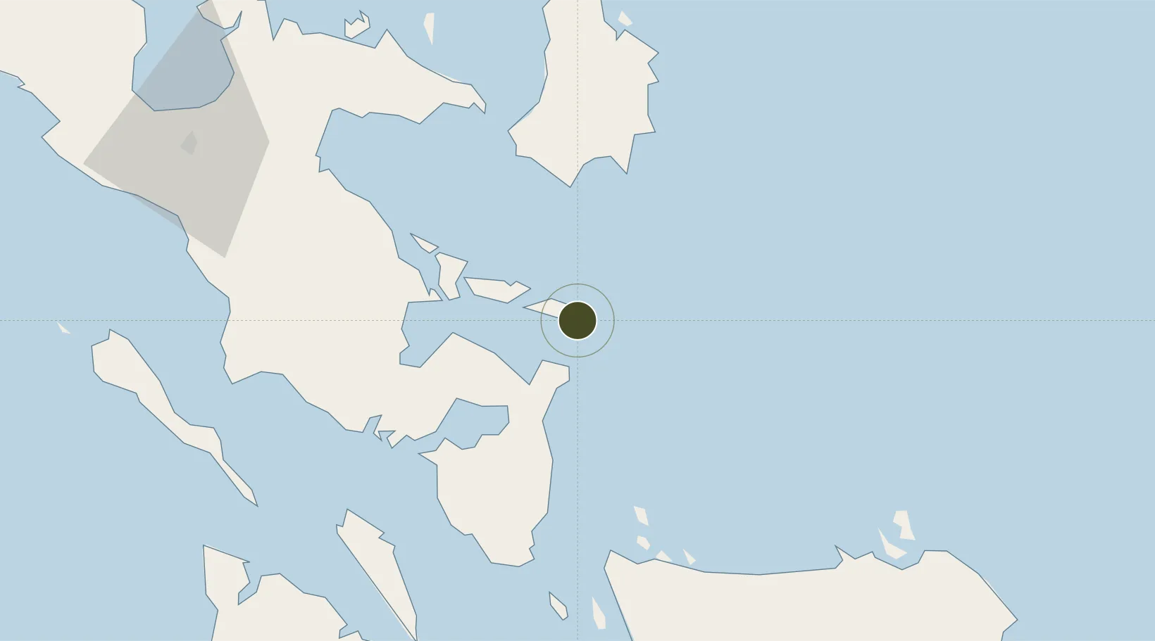
13.1769°, 124.2072°
41 ha
Zone area
32.4 km
Nearest port
44.4 km
Nearest airport

Gateway access

Nearest neighbours — logibook spatial index (haversine) over the source coordinates

Zone profile

Zone type
Diversified Zone
Open Zone Map
Region
Albay
Open Zone Map
Status
Active
Open Zone Map
Management
Public
Open Zone Map
Operator
Rapu-Rapu Minerals, Inc.
Open Zone Map
Legal framework
Special Economic Zone Act (Republic Act No. 7916) (as amended by Republic Act No. 8748)
Open Zone Map

Location

Location of ozm-3139
Natural Earth 10m (public domain) · Albay · ozm-3139 · 13.18, 124.21GoogleOSMYandex

Nearby Logistics Neighbours

Ports
  1. 1Sorsogon32 km
  2. 2Virac45 km
  3. 3Legazpi Port50 km
  4. 4Tabaco56 km
  5. 5Masbate111 km
Nearest neighbours — logibook spatial index (haversine) over the source coordinates
Airports
  1. 1Virac Airport44 km
  2. 2Bicol International Airport58 km
  3. 3Catarman National Airport88 km
  4. 4Moises R. Espinosa Airport109 km
  5. 5Naga Airport111 km
Nearest neighbours — logibook spatial index (haversine) over the source coordinates
Cities
  1. 1Changtu47 km
  2. 2Legaspi Apt, Luzon50 km
  3. 3Tabaco/Legaspi55 km
  4. 4Gigmoto, Catanduanes68 km
  5. 5Naga, Luzon123 km
Nearest neighbours — logibook spatial index (haversine) over the source coordinates
Trade Zones
  1. 1Peter Paul Industrial Ecozone - Sorsogon30 km
  2. 2Misibis Resorts and Estates33 km
  3. 3Embarcadero de Legazpi49 km
  4. 4First Batangas Industrial Park49 km
  5. 5Gernarine Information Technology Center51 km
Nearest neighbours — logibook spatial index (haversine) over the source coordinates
DatabookThe Record of Consolidated Knowledge
Philippines beyond logistics?
Browse databook

All Sources

Trade ZonesOpen Zone Map
CC BY
Portsthe NGA World Port Index
Public domain (US gov)
AirportsOurAirports
Public domain
LocationsUN/LOCODE
UN/LOCODE — free
← Philippines trade zones