Medium airport · Philippines

Catarman National AirportRPVF
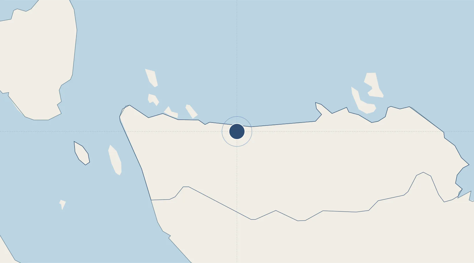
12.5016°, 124.6353°
4,429 ft
Longest runway
1
Runways
6 ft
Elevation

Runway & Layout

Catarman National Airport runway & taxiway layout
Runway & taxiway layout — OpenStreetMap (ODbL) / OurAirports

Radio Frequencies

CTAF
122.7 MHz
Oshkosh Traffic
OurAirports

Runways · 1

RunwayDimensions SurfaceTrue headingLit
04/22 4,429 × 98ft Concrete 044°
OurAirports

Airport Specifications

IATA code
CRM
OurAirports
ICAO code
RPVF
OurAirports
Airport class
Medium airport
OurAirports
Scheduled service
Yes
OurAirports
Runway surface
Concrete
OurAirports
Served city
Catarman
OurAirports

Location

Location of RPVF
Natural Earth 10m (public domain) · Northern Samar · RPVF · 12.50, 124.64GoogleOSMYandex

Nearby Logistics Neighbours

Airports
  1. 1Calbayog Airport49 km
  2. 2Moises R. Espinosa Airport110 km
  3. 3Bicol International Airport124 km
  4. 4Virac Airport128 km
  5. 5Daniel Z. Romualdez Airport148 km
Nearest neighbours — logibook spatial index (haversine) over the source coordinates
Cities
  1. 1Calbayog, Samar49 km
  2. 2Changtu65 km
  3. 3Legaspi Apt, Luzon119 km
  4. 4Calubian, Leyte121 km
  5. 5Leyte127 km
Nearest neighbours — logibook spatial index (haversine) over the source coordinates
Ports
  1. 1Catbalogan86 km
  2. 2Sorsogon86 km
  3. 3Masbate112 km
  4. 4Legazpi Port120 km
  5. 5Virac127 km
Nearest neighbours — logibook spatial index (haversine) over the source coordinates
Trade Zones
  1. 1Samar Agro-Industrial Economic Zone47 km
  2. 2Peter Paul Industrial Ecozone - Sorsogon85 km
  3. 3Rapu-Rapu Ecozone88 km
  4. 4Misibis Resorts and Estates114 km
  5. 5Embarcadero de Legazpi119 km
Nearest neighbours — logibook spatial index (haversine) over the source coordinates
DatabookThe Record of Consolidated Knowledge
Philippines beyond logistics?
Browse databook

All Sources

AirportsOurAirports
Public domain
Portsthe NGA World Port Index
Public domain (US gov)
LocationsUN/LOCODE
UN/LOCODE — free
Trade Zonesthe World Bank SEZ database
CC BY 4.0
Trade ZonesOpen Zone Map
CC BY
InfrastructureOpenStreetMap
ODbL 1.0
← Philippines airports