Transport Functions
Port
Hub Profile
Region
ALB
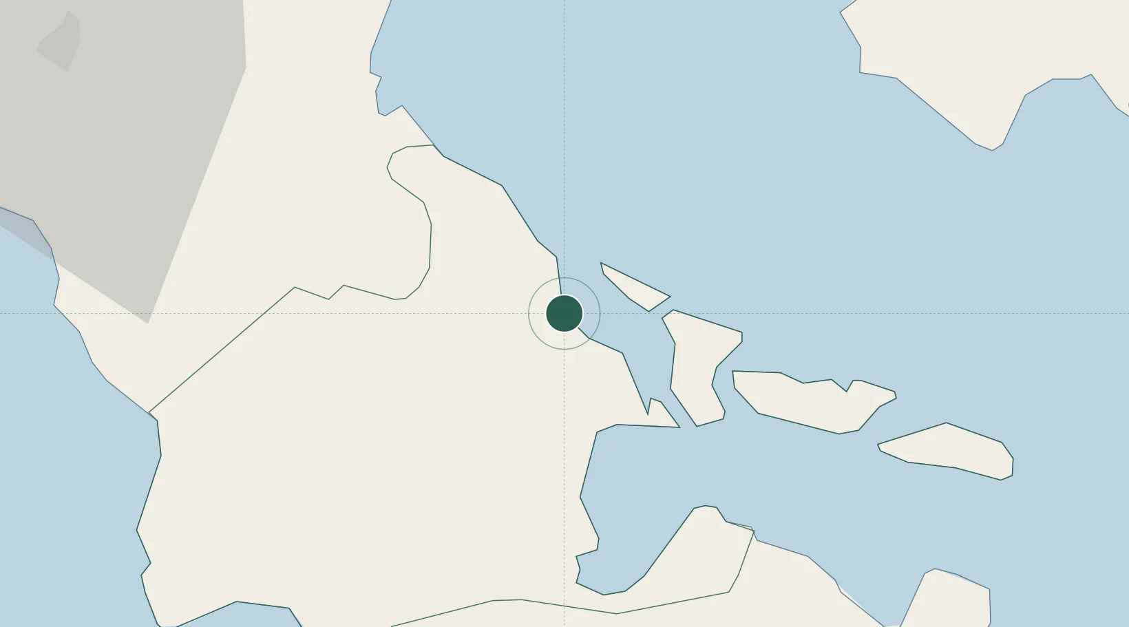
Location
Nearby Logistics Neighbours
Cities
- 1Legaspi Apt, Luzon24 km
- 2Naga, Luzon68 km
- 3Changtu76 km
- 4Gigmoto, Catanduanes84 km
- 5Cajidiocan, Visayan Isl158 km
Ports
- 1Legazpi Port22 km
- 2Sorsogon52 km
- 3Virac62 km
- 4Masbate110 km
- 5Jose Panganiban154 km
Airports
- 1Bicol International Airport27 km
- 2Naga Airport57 km
- 3Virac Airport57 km
- 4Moises R. Espinosa Airport110 km
- 5Daet Airport119 km
Trade Zones
DatabookThe Record of Consolidated Knowledge
Philippines beyond logistics?