Charter City · Philippines

Misibis Resorts and Estates Active
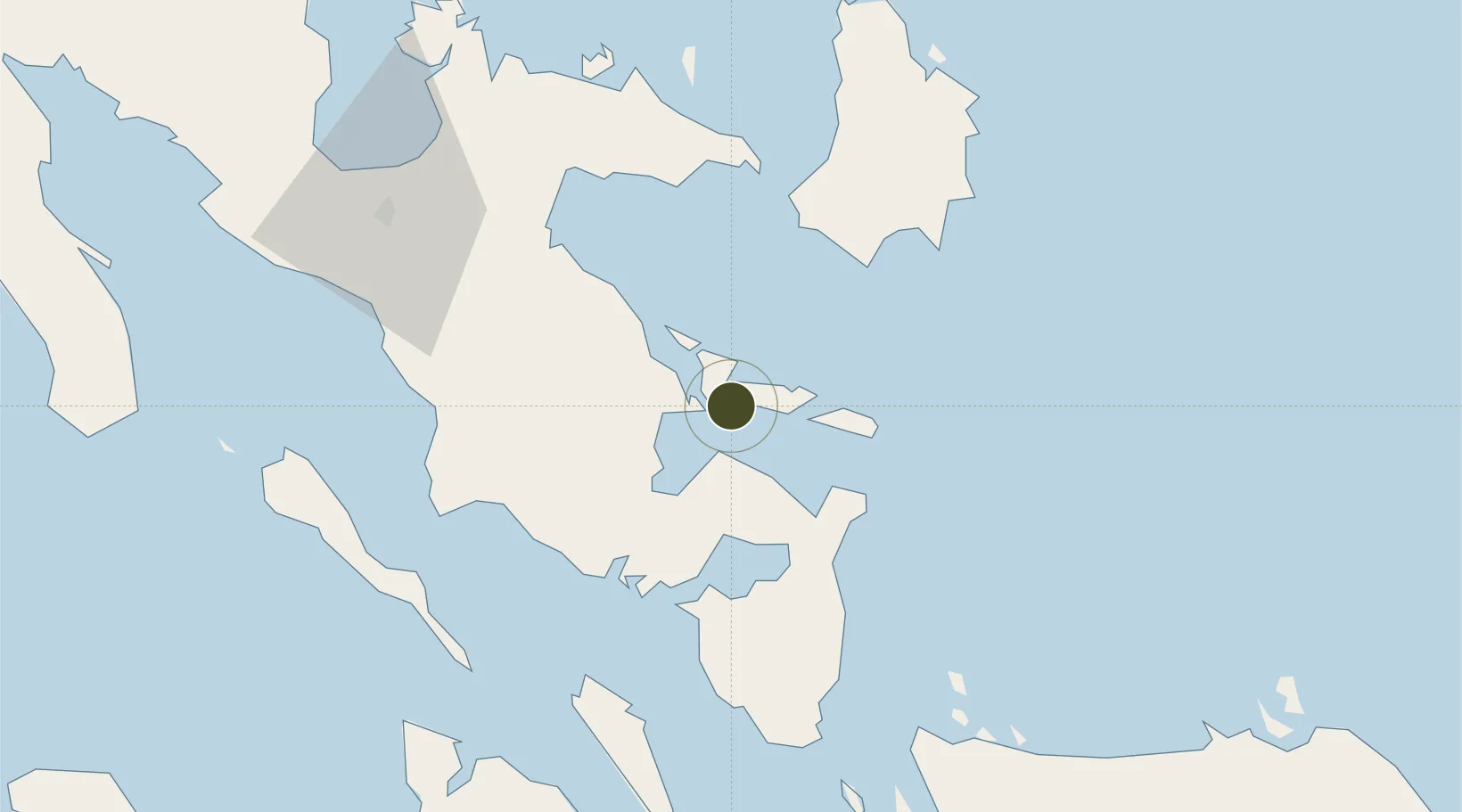
13.2384°, 123.9085°
32 ha
Zone area
19.8 km
Nearest port
28.8 km
Nearest airport

Gateway access

Nearest neighbours — logibook spatial index (haversine) over the source coordinates

Zone profile

Zone type
Charter City
Open Zone Map
Specialization
Tourism
Open Zone Map
Region
Albay
Open Zone Map
Status
Active
Open Zone Map
Management
Private
Open Zone Map
Operator
Misibis Land, Inc.
Open Zone Map
Legal framework
Special Economic Zone Act (Republic Act No. 7916) (as amended by Republic Act No. 8748)
Open Zone Map

Location

Location of ozm-3934
Natural Earth 10m (public domain) · Albay · ozm-3934 · 13.24, 123.91GoogleOSMYandex

Nearby Logistics Neighbours

Ports
  1. 1Legazpi Port20 km
  2. 2Tabaco24 km
  3. 3Sorsogon32 km
  4. 4Virac53 km
  5. 5Masbate102 km
Nearest neighbours — logibook spatial index (haversine) over the source coordinates
Airports
  1. 1Bicol International Airport29 km
  2. 2Virac Airport50 km
  3. 3Naga Airport79 km
  4. 4Moises R. Espinosa Airport101 km
  5. 5Catarman National Airport114 km
Nearest neighbours — logibook spatial index (haversine) over the source coordinates
Cities
  1. 1Legaspi Apt, Luzon21 km
  2. 2Tabaco/Legaspi23 km
  3. 3Changtu56 km
  4. 4Gigmoto, Catanduanes78 km
  5. 5Naga, Luzon91 km
Nearest neighbours — logibook spatial index (haversine) over the source coordinates
Trade Zones
  1. 1Embarcadero de Legazpi20 km
  2. 2Gernarine Information Technology Center21 km
  3. 3Legaspi City Special Economic Zone24 km
  4. 4Peter Paul Industrial Ecozone - Sorsogon31 km
  5. 5Rapu-Rapu Ecozone33 km
Nearest neighbours — logibook spatial index (haversine) over the source coordinates
DatabookThe Record of Consolidated Knowledge
Philippines beyond logistics?
Browse databook

All Sources

Trade ZonesOpen Zone Map
CC BY
Portsthe NGA World Port Index
Public domain (US gov)
AirportsOurAirports
Public domain
LocationsUN/LOCODE
UN/LOCODE — free
← Philippines trade zones