Transport Functions
Multimodal
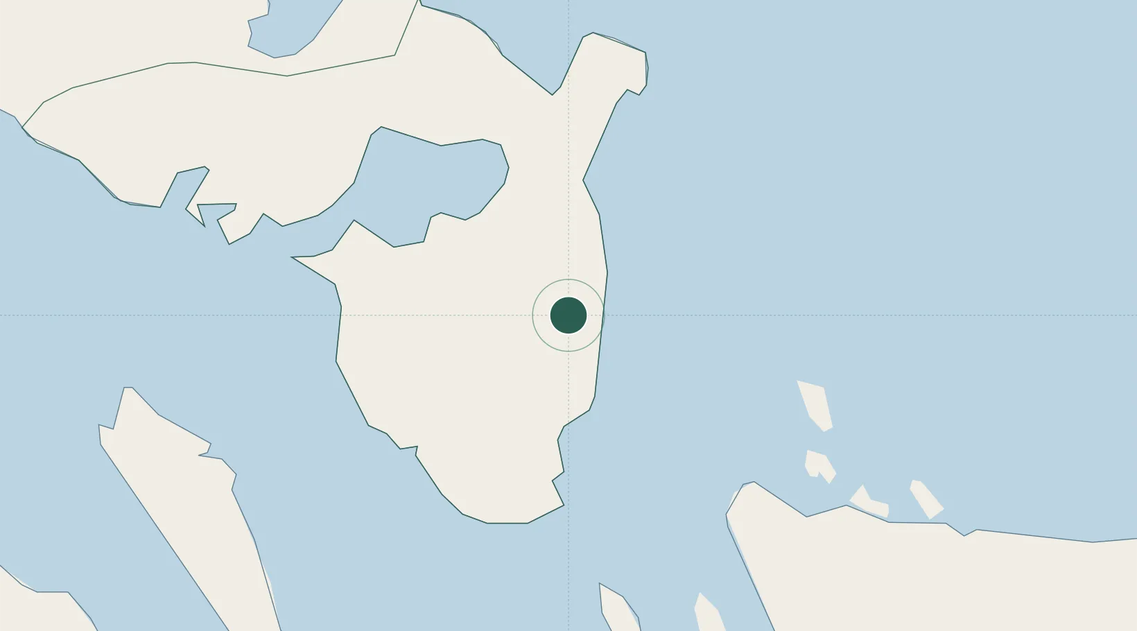
Hub Profile
Place type
Populated place
Region
Hainan
Time zone
Asia/Shanghai
Elevation
21 m
Location
Nearby Logistics Neighbours
Cities
- 1Legaspi Apt, Luzon56 km
- 2Tabaco/Legaspi76 km
- 3Calbayog, Samar95 km
- 4Gigmoto, Catanduanes115 km
- 5Naga, Luzon138 km
Ports
- 1Sorsogon25 km
- 2Legazpi Port57 km
- 3Masbate69 km
- 4Tabaco78 km
- 5Virac92 km
Airports
- 1Bicol International Airport60 km
- 2Catarman National Airport65 km
- 3Moises R. Espinosa Airport67 km
- 4Virac Airport91 km
- 5Calbayog Airport91 km
Trade Zones
DatabookThe Record of Consolidated Knowledge
China beyond logistics?