Transport Functions
Rail
Road
Airport
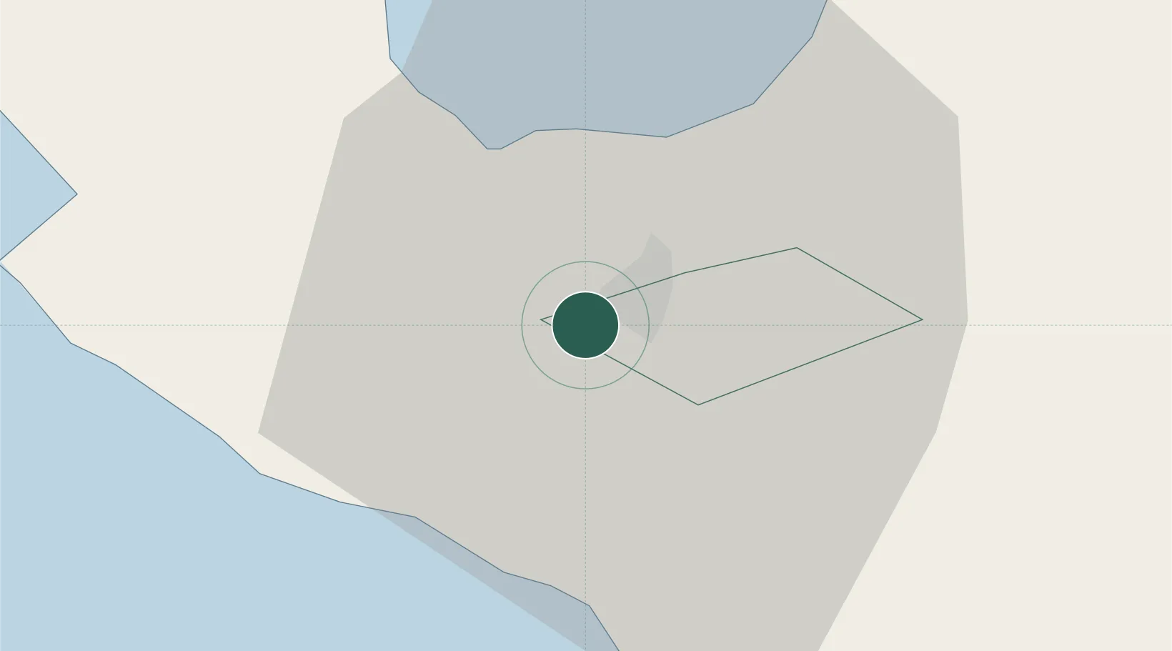
Location
Nearby Logistics Neighbours
Cities
- 1Tabaco/Legaspi68 km
- 2Legaspi Apt, Luzon83 km
- 3Gigmoto, Catanduanes133 km
- 4Changtu138 km
- 5Atimonan/Siain143 km
Ports
- 1Tabaco67 km
- 2Legazpi Port82 km
- 3Jose Panganiban91 km
- 4Hondagua107 km
- 5Sorsogon116 km
Airports
- 1Naga Airport12 km
- 2Daet Airport60 km
- 3Bicol International Airport79 km
- 4Virac Airport112 km
- 5Moises R. Espinosa Airport148 km
DatabookThe Record of Consolidated Knowledge
Philippines beyond logistics?