Diversified Zone · Philippines

ATN Industrial Technology City Under Development
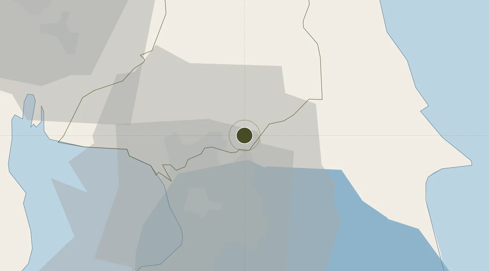
14.7964°, 121.1425°
256 ha
Zone area
30.3 km
Nearest port
34.6 km
Nearest airport

Gateway access

Nearest neighbours — logibook spatial index (haversine) over the source coordinates

Zone profile

Zone type
Diversified Zone
Open Zone Map
Region
Bulacan
Open Zone Map
Status
Under Development
Open Zone Map
Management
Private
Open Zone Map
Operator
ATN Holdings Inc.
Open Zone Map
Legal framework
Special Economic Zone Act (Republic Act No. 7916) (as amended by Republic Act No. 8748)
Open Zone Map

Location

Location of ozm-3214
Natural Earth 10m (public domain) · Bulacan · ozm-3214 · 14.80, 121.14GoogleOSMYandex

Nearby Logistics Neighbours

Ports
  1. 1Manila30 km
  2. 2Mariveles82 km
  3. 3Subic Bay94 km
  4. 4Nasugbu97 km
  5. 5Batangas City117 km
Nearest neighbours — logibook spatial index (haversine) over the source coordinates
Cities
  1. 1San Juan22 km
  2. 2Quezon City22 km
  3. 3Valenzuela22 km
  4. 4Muntinlupa City22 km
  5. 5Libis23 km
Nearest neighbours — logibook spatial index (haversine) over the source coordinates
Trade Zones
  1. 1Horizon IT Park6 km
  2. 2First Bulacan IT Park6 km
  3. 3Altaraza IT Park (North)7 km
  4. 4Garner TechHub7 km
  5. 5Victoria Wave Special Economic Zone9 km
Nearest neighbours — logibook spatial index (haversine) over the source coordinates
DatabookThe Record of Consolidated Knowledge
Philippines beyond logistics?
Browse databook

All Sources

Trade ZonesOpen Zone Map
CC BY
Portsthe NGA World Port Index
Public domain (US gov)
AirportsOurAirports
Public domain
LocationsUN/LOCODE
UN/LOCODE — free
← Philippines trade zones