Specialized Zone · Philippines

Alphaland Balesin Island Resort Under Development
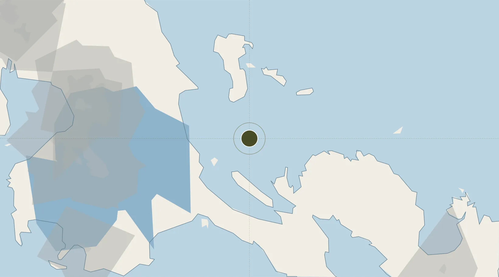
14.4219°, 122.0346°
394 ha
Zone area
56.7 km
Nearest port
107.0 km
Nearest airport

Gateway access

Nearest neighbours — logibook spatial index (haversine) over the source coordinates

Zone profile

Zone type
Specialized Zone
Open Zone Map
Specialization
Tourism
Open Zone Map
Region
Quezon
Open Zone Map
Status
Under Development
Open Zone Map
Management
Private
Open Zone Map
Operator
Alphaland Balesin Island Resort Corporation
Open Zone Map
Legal framework
Special Economic Zone Act (Republic Act No. 7916) (as amended by Republic Act No. 8748)
Open Zone Map

Location

Location of ozm-3951
Natural Earth 10m (public domain) · Quezon · ozm-3951 · 14.42, 122.03GoogleOSMYandex

Nearby Logistics Neighbours

Ports
  1. 1Hondagua57 km
  2. 2Jose Panganiban72 km
  3. 3Manila116 km
  4. 4Batangas City130 km
  5. 5Calapan145 km
Nearest neighbours — logibook spatial index (haversine) over the source coordinates
Airports
  1. 1Daet Airport107 km
  2. 2Ninoy Aquino International Airport110 km
  3. 3Marinduque Airport120 km
  4. 4Danilo Atienza Air Base122 km
  5. 5Dr. Juan C. Angara Airport156 km
Nearest neighbours — logibook spatial index (haversine) over the source coordinates
Cities
  1. 1Polillo, Polillo Isl33 km
  2. 2Taguig38 km
  3. 3Burdeos, Polillo Isl46 km
  4. 4Atimonan/Siain51 km
  5. 5Binan52 km
Nearest neighbours — logibook spatial index (haversine) over the source coordinates
Trade Zones
  1. 1SMLC IT Center70 km
  2. 2Jose Panganiban SEZ70 km
  3. 3Global Industrial Maritime Complex72 km
  4. 4Tanay Rizal I.T. Park81 km
  5. 5Candelaria Agri Special Economic Zone83 km
Nearest neighbours — logibook spatial index (haversine) over the source coordinates
DatabookThe Record of Consolidated Knowledge
Philippines beyond logistics?
Browse databook

All Sources

Trade ZonesOpen Zone Map
CC BY
Portsthe NGA World Port Index
Public domain (US gov)
AirportsOurAirports
Public domain
LocationsUN/LOCODE
UN/LOCODE — free
← Philippines trade zones