UN/LOCODE hub · Philippines
PHTAU
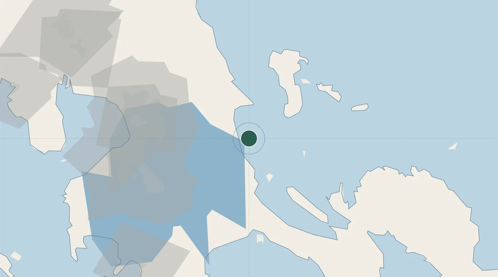
Taguig
14.5167°, 121.7000°
1,308,085
Population
1
Transport functions
Transport Functions
Multimodal
Hub Profile
Place type
District seat
Region
National Capital Region
Population
1,308,085
Time zone
Asia/Manila
Elevation
5 m
Location
Nearby Logistics Neighbours
Cities
- 1Binan31 km
- 2Polillo, Polillo Isl32 km
- 3Burdeos, Polillo Isl45 km
- 4Pagbilao61 km
- 5Santa Rosa63 km
Ports
- 1Manila79 km
- 2Hondagua85 km
- 3Jose Panganiban109 km
- 4Batangas City110 km
- 5Nasugbu126 km
Airports
Trade Zones
DatabookThe Record of Consolidated Knowledge
Philippines beyond logistics?