Specialized Zone · Philippines

One Asia Business Center Active
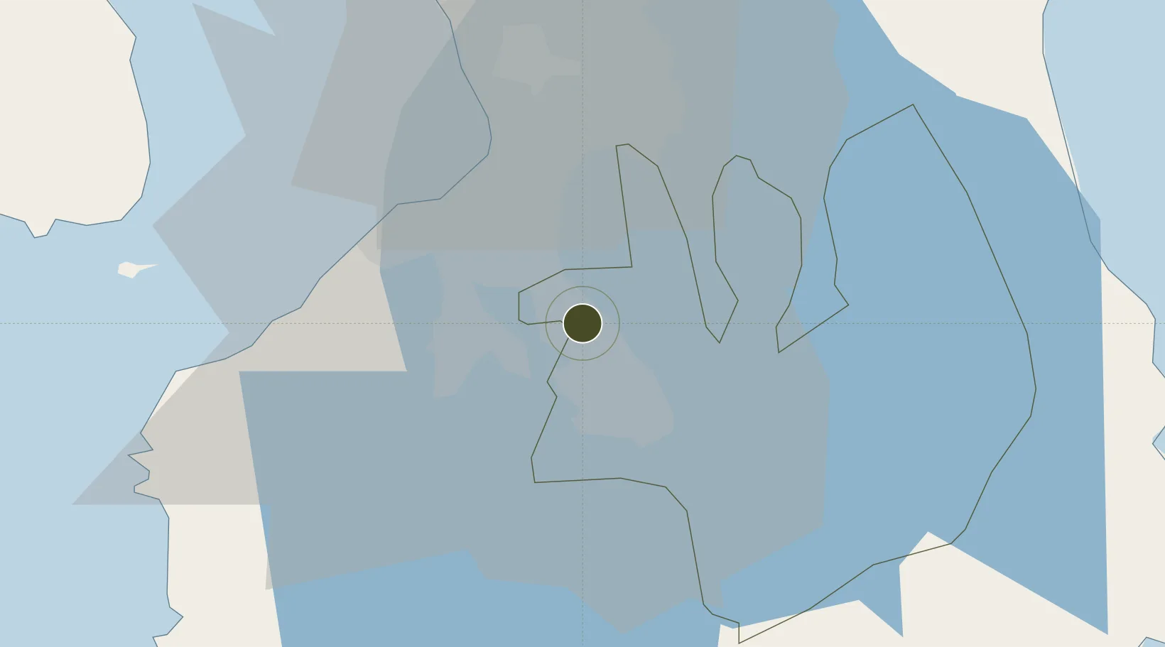
14.3242°, 121.0871°
5 ha
Zone area
31.6 km
Nearest port
21.7 km
Nearest airport

Gateway access

Nearest neighbours — logibook spatial index (haversine) over the source coordinates

Zone profile

Zone type
Specialized Zone
Open Zone Map
Specialization
IT
Open Zone Map
Region
Laguna
Open Zone Map
Status
Active
Open Zone Map
Management
Private
Open Zone Map
Operator
Extraordinary Development Corporation
Open Zone Map
Legal framework
Special Economic Zone Act (Republic Act No. 7916) (as amended by Republic Act No. 8748)
Open Zone Map

Location

Location of ozm-3790
Natural Earth 10m (public domain) · Laguna · ozm-3790 · 14.32, 121.09GoogleOSMYandex

Nearby Logistics Neighbours

Ports
  1. 1Manila32 km
  2. 2Nasugbu57 km
  3. 3Batangas City64 km
  4. 4Mariveles66 km
  5. 5Calapan101 km
Nearest neighbours — logibook spatial index (haversine) over the source coordinates
Airports
  1. 1Ninoy Aquino International Airport22 km
  2. 2Danilo Atienza Air Base27 km
  3. 3Subic Bay International Airport / Naval Air Station Cubi Point102 km
  4. 4Clark International Airport / Clark Air Base111 km
  5. 5Lubang Airport118 km
Nearest neighbours — logibook spatial index (haversine) over the source coordinates
Cities
  1. 1Biñan1 km
  2. 2Canlubang12 km
  3. 3Camarines Norte/Jose Panganiban13 km
  4. 4Parañaque24 km
  5. 5Bangkal25 km
Nearest neighbours — logibook spatial index (haversine) over the source coordinates
Trade Zones
  1. 1Robinsons Place Sta. Rosa1 km
  2. 2SM City Santa Rosa IT Center2 km
  3. 3Golden Mile Business Park2 km
  4. 4People's Technology Complex3 km
  5. 5Southwoods Mall4 km
Nearest neighbours — logibook spatial index (haversine) over the source coordinates
DatabookThe Record of Consolidated Knowledge
Philippines beyond logistics?
Browse databook

All Sources

Trade ZonesOpen Zone Map
CC BY
Portsthe NGA World Port Index
Public domain (US gov)
AirportsOurAirports
Public domain
LocationsUN/LOCODE
UN/LOCODE — free
← Philippines trade zones