ECOzone · Philippines

People's Technology Complex Active
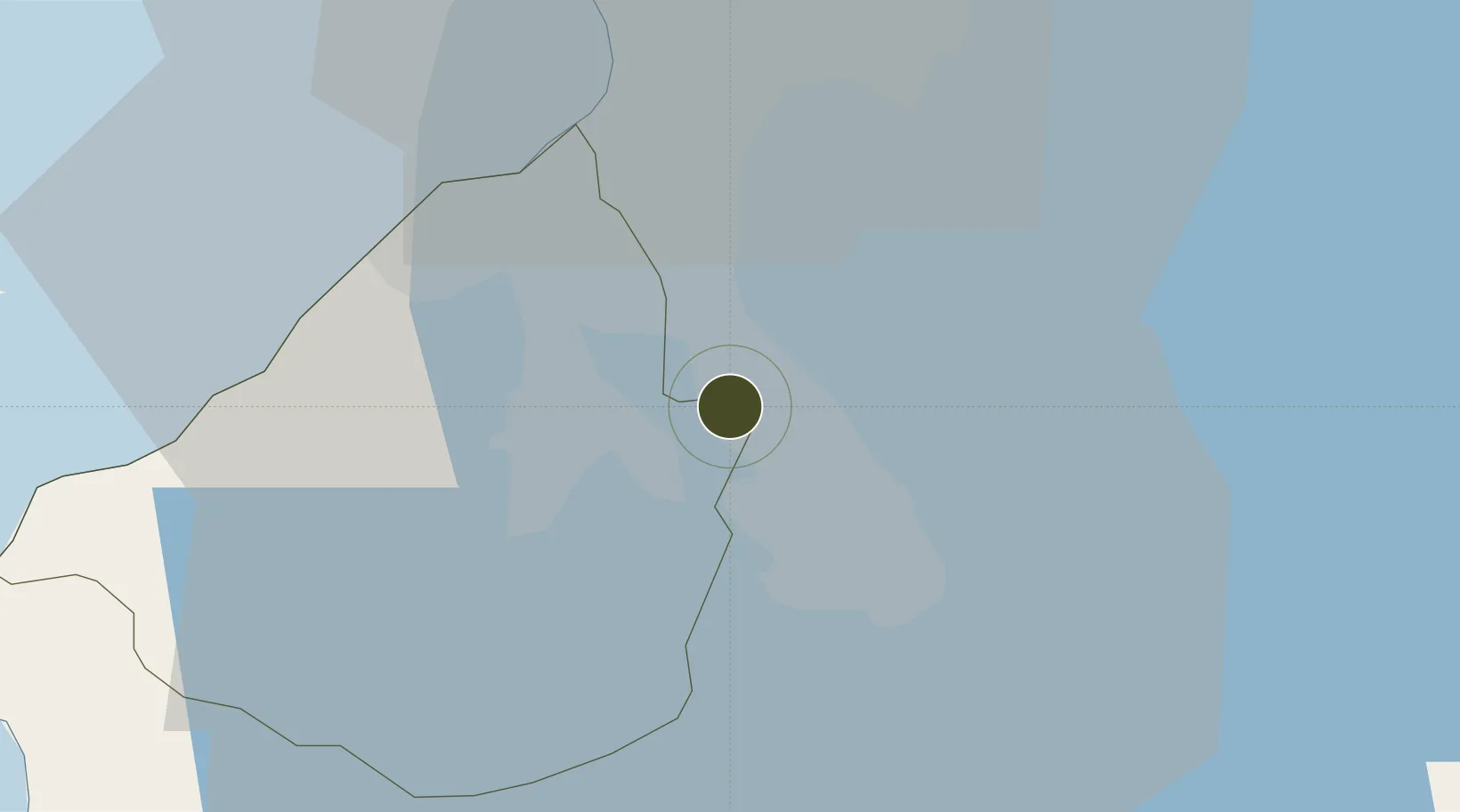
14.3201°, 121.0565°
59 ha
Zone area
30.8 km
Nearest port
21.3 km
Nearest airport

Gateway access

Nearest neighbours — logibook spatial index (haversine) over the source coordinates

Zone profile

Zone type
ECOzone
the World Bank SEZ database
Region
Cavite
the World Bank SEZ database
Status
Active
the World Bank SEZ database
Established
1998
the World Bank SEZ database
Management
Private management
the World Bank SEZ database
Operator
People's Techonology Complex Asso., Inc.
the World Bank SEZ database
Regulatory authority
Philippines Economic Zone Authority
the World Bank SEZ database
Legal framework
Special Economic Zone Act
the World Bank SEZ database

Location

Location of PHL26
Natural Earth 10m (public domain) · Cavite · PHL26 · 14.32, 121.06GoogleOSMYandex

Fiscal & incentives

Corporate tax
30%
the World Bank SEZ database
Tax relief
100% exempt
the World Bank SEZ database
Relief duration
4-8 years
the World Bank SEZ database
VAT
100% exempt from VAT on utility charges
the World Bank SEZ database
Import duty (inputs)
100% exempt
the World Bank SEZ database
Import duty (capex)
100% exempt
the World Bank SEZ database
Profit repatriation
No exemption
the World Bank SEZ database
Capital gains
No exemption
the World Bank SEZ database
Withholding tax
100% exempt from withholding tax
the World Bank SEZ database
Min. investment
None
the World Bank SEZ database
Min. export
70% for manufacturing and IT industries
the World Bank SEZ database
Employment incentive
No exemption
the World Bank SEZ database
Developer incentive
Yes
the World Bank SEZ database

Nearby Logistics Neighbours

Ports
  1. 1Manila31 km
  2. 2Nasugbu54 km
  3. 3Mariveles63 km
  4. 4Batangas City63 km
  5. 5Subic Bay100 km
Nearest neighbours — logibook spatial index (haversine) over the source coordinates
Airports
  1. 1Ninoy Aquino International Airport21 km
  2. 2Danilo Atienza Air Base26 km
  3. 3Subic Bay International Airport / Naval Air Station Cubi Point100 km
  4. 4Clark International Airport / Clark Air Base110 km
  5. 5Lubang Airport115 km
Nearest neighbours — logibook spatial index (haversine) over the source coordinates
Cities
  1. 1Biñan3 km
  2. 2Canlubang12 km
  3. 3Camarines Norte/Jose Panganiban15 km
  4. 4Parañaque23 km
  5. 5Bangkal25 km
Nearest neighbours — logibook spatial index (haversine) over the source coordinates
Trade Zones
  1. 1Southwoods Mall1 km
  2. 2Golden Mile Business Park2 km
  3. 3One Asia Business Center3 km
  4. 4San Lazaro Leisure and Business Park4 km
  5. 5Laguna International Industrial Park4 km
Nearest neighbours — logibook spatial index (haversine) over the source coordinates
DatabookThe Record of Consolidated Knowledge
Philippines beyond logistics?
Browse databook

All Sources

Trade Zonesthe World Bank SEZ database
CC BY 4.0
Portsthe NGA World Port Index
Public domain (US gov)
AirportsOurAirports
Public domain
LocationsUN/LOCODE
UN/LOCODE — free
← Philippines trade zones