UN/LOCODE hub · Philippines
PHLAC
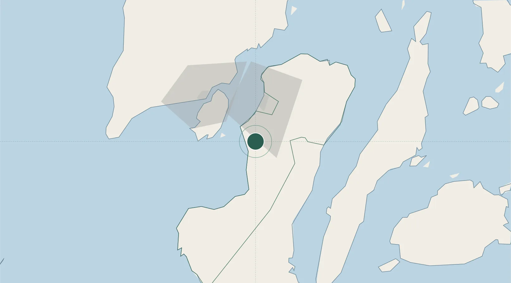
La Carlota
10.4167°, 122.9167°
67,740
Population
1
Transport functions
Transport Functions
Port
Hub Profile
Place type
Populated place
Region
Western Visayas
Population
67,740
Time zone
Asia/Manila
Elevation
27 m
Location
Nearby Logistics Neighbours
Cities
- 1Bacolod, Negros29 km
- 2Himamaylan, Negros38 km
- 3Iloilo, Panay49 km
- 4Guihulngan52 km
- 5Buanoy84 km
Ports
- 1Pulupandan17 km
- 2Iloilo48 km
- 3San Carlos55 km
- 4Toledo79 km
- 5Bais93 km
Airports
- 1Bacolod-Silay International Airport42 km
- 2Iloilo International Airport65 km
- 3Evelio Javier Airport114 km
- 4Mactan Cebu International Airport117 km
- 5Sibulan Airport128 km
Trade Zones
- 1Transcom Center Bacolod26 km
- 2One Sanparq27 km
- 3Negros First CyberCentre27 km
- 4Lopues San Sebastian I.T. Center28 km
- 5Lopues East I. T. Center28 km
DatabookThe Record of Consolidated Knowledge
Philippines beyond logistics?