Transport Functions
Multimodal
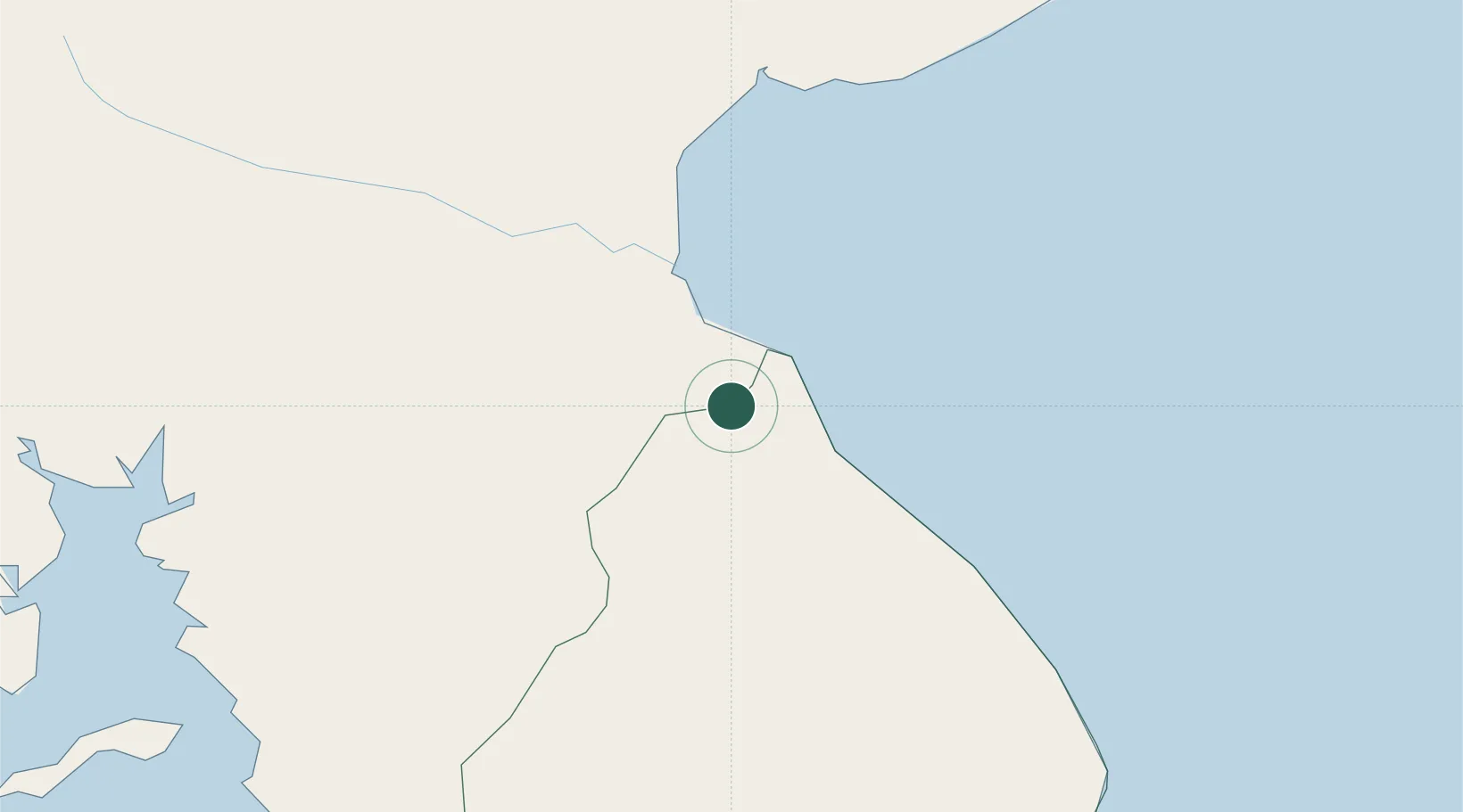
Hub Profile
Place type
Provincial seat
Region
Los Santos Province
Population
5,970
Time zone
America/Panama
Elevation
19 m
Location
Nearby Logistics Neighbours
Cities
- 1Chitre4 km
- 2Agua Buena13 km
- 3Perales22 km
- 4Pesé22 km
- 5Potuga27 km
Ports
- 1Punta Rincon124 km
- 2Vacamonte133 km
- 3Balboa147 km
- 4Puerto Cristobal167 km
- 5Puerto Colon170 km
Airports
Trade Zones
DatabookThe Record of Consolidated Knowledge
Panama beyond logistics?