UN/LOCODE hub · New Zealand
NZWHN

Whangaparapara

-36.2333°, 175.3833°
1
Transport functions

Transport Functions

Port
UN/LOCODE

Hub Profile

Region
AUK
GeoNames

Location

Location of NZWHN
Natural Earth 10m (public domain) · AUK · NZWHN · -36.23, 175.38GoogleOSMYandex

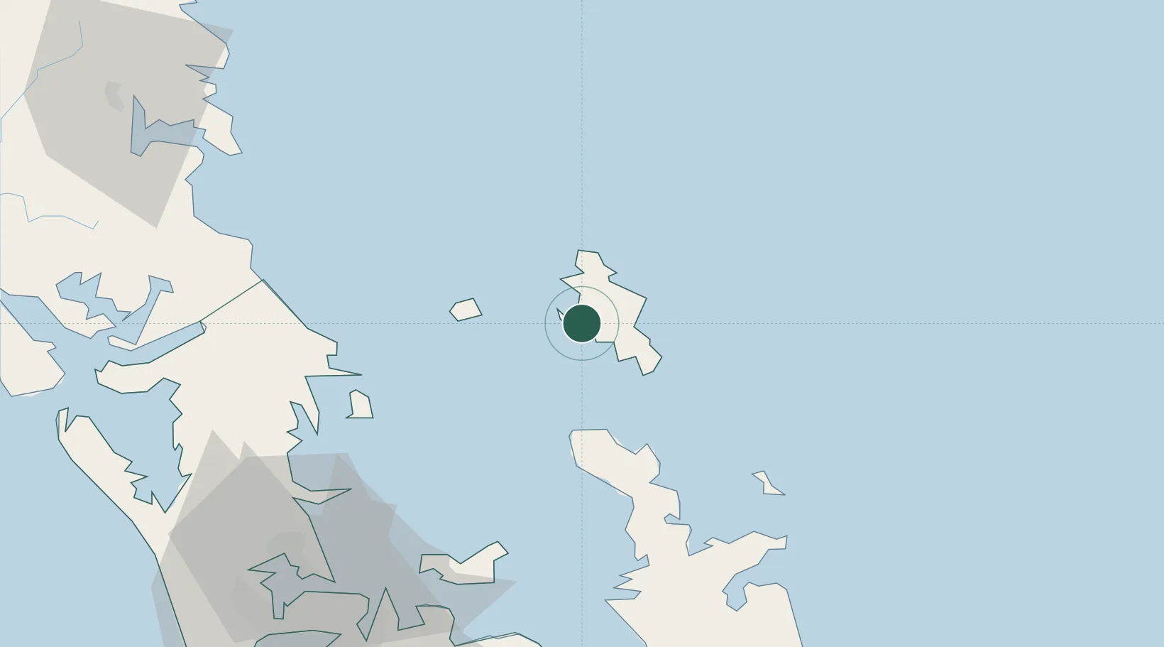
Nearby Logistics Neighbours

Cities
  1. 1Tryphena12 km
  2. 2Waiheke Island68 km
  3. 3Matiatia Bay70 km
  4. 4Whangaparaoa71 km
  5. 5Takapuna82 km
Nearest neighbours — logibook spatial index (haversine) over the source coordinates
Ports
  1. 1Auckland88 km
  2. 2Manukau Harbor95 km
  3. 3Whangarei98 km
  4. 4Opua153 km
  5. 5Tauranga171 km
Nearest neighbours — logibook spatial index (haversine) over the source coordinates
Airports
  1. 1Great Barrier Aerodrome8 km
  2. 2Okiwi Station Airport10 km
  3. 3RNZAF Base Auckland-Whenuapai91 km
  4. 4Ardmore Airport96 km
  5. 5Auckland International Airport102 km
Nearest neighbours — logibook spatial index (haversine) over the source coordinates
Trade Zones
  1. 1Hicks Bay Area Special Economic Zone288 km
  2. 2Rotuma-Kadavu Tax-Free Region2034 km
  3. 3Kalabu Tax Free Zone2040 km
  4. 4Nausori-Ba Tax-Free Region2048 km
  5. 5Lautoka Special Zone2080 km
Nearest neighbours — logibook spatial index (haversine) over the source coordinates
DatabookThe Record of Consolidated Knowledge
New Zealand beyond logistics?
Browse databook

All Sources

LocationsUN/LOCODE
UN/LOCODE — free
Portsthe NGA World Port Index
Public domain (US gov)
AirportsOurAirports
Public domain
Trade Zonesthe World Bank SEZ database
CC BY 4.0
Trade ZonesOpen Zone Map
CC BY
← New Zealand locations