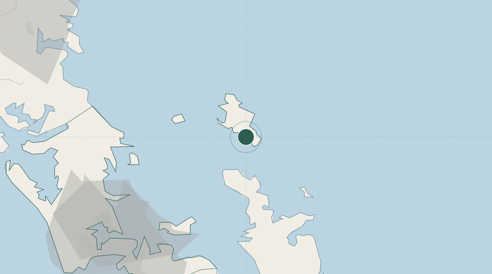
UN/LOCODE hub · New Zealand
NZTRY

Tryphena

-36.3000°, 175.4833°
1
Transport functions

Transport Functions

Port
UN/LOCODE

Hub Profile

Place type
Populated place
GeoNames
Region
Auckland
GeoNames
Time zone
Pacific/Auckland
GeoNames
Elevation
21 m
GeoNames

Location

Location of NZTRY
Natural Earth 10m (public domain) · Auckland · NZTRY · -36.30, 175.48GoogleOSMYandex

Nearby Logistics Neighbours

Cities
  1. 1Whangaparapara12 km
  2. 2Waiheke Island65 km
  3. 3Matiatia Bay70 km
  4. 4Whangaparaoa74 km
  5. 5Tamaki83 km
Nearest neighbours — logibook spatial index (haversine) over the source coordinates
Ports
  1. 1Auckland89 km
  2. 2Manukau Harbor94 km
  3. 3Whangarei110 km
  4. 4Tauranga160 km
  5. 5Opua165 km
Nearest neighbours — logibook spatial index (haversine) over the source coordinates
Airports
  1. 1Great Barrier Aerodrome7 km
  2. 2Okiwi Station Airport18 km
  3. 3Ardmore Airport93 km
  4. 4RNZAF Base Auckland-Whenuapai94 km
  5. 5Auckland International Airport101 km
Nearest neighbours — logibook spatial index (haversine) over the source coordinates
Trade Zones
  1. 1Hicks Bay Area Special Economic Zone276 km
  2. 2Rotuma-Kadavu Tax-Free Region2040 km
  3. 3Kalabu Tax Free Zone2046 km
  4. 4Nausori-Ba Tax-Free Region2054 km
  5. 5Lautoka Special Zone2086 km
Nearest neighbours — logibook spatial index (haversine) over the source coordinates
DatabookThe Record of Consolidated Knowledge
New Zealand beyond logistics?
Browse databook

All Sources

LocationsUN/LOCODE
UN/LOCODE — free
Portsthe NGA World Port Index
Public domain (US gov)
AirportsOurAirports
Public domain
Trade Zonesthe World Bank SEZ database
CC BY 4.0
Trade ZonesOpen Zone Map
CC BY
← New Zealand locations