UN/LOCODE hub · New Zealand
NZKAU

Kauri Point

-36.8167°, 174.6833°
2
Transport functions

Transport Functions

Port
Road
UN/LOCODE

Hub Profile

Region
AUK
GeoNames

Location

Location of NZKAU
Natural Earth 10m (public domain) · AUK · NZKAU · -36.82, 174.68GoogleOSMYandex

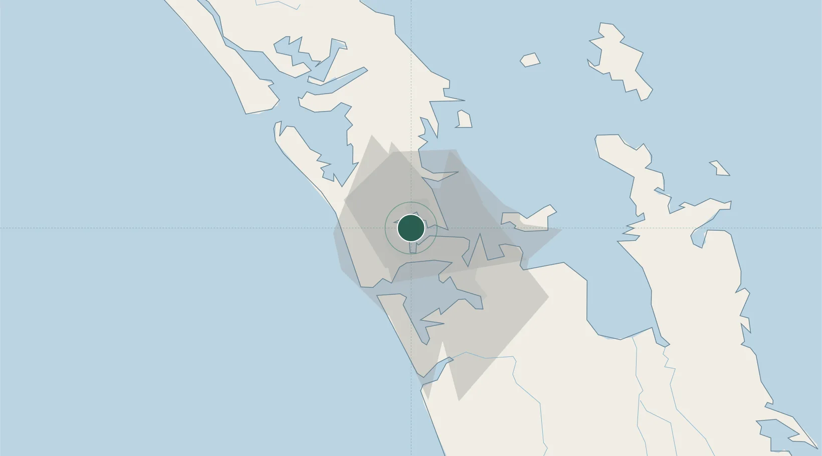
Nearby Logistics Neighbours

Cities
  1. 1Chelsea3 km
  2. 2Herne Bay4 km
  3. 3Northcote5 km
  4. 4Henderson8 km
  5. 5Takapuna8 km
Nearest neighbours — logibook spatial index (haversine) over the source coordinates
Ports
  1. 1Auckland8 km
  2. 2Manukau Harbor16 km
  3. 3Whangarei115 km
  4. 4Tauranga160 km
  5. 5Opua174 km
Nearest neighbours — logibook spatial index (haversine) over the source coordinates
Airports
  1. 1RNZAF Base Auckland-Whenuapai6 km
  2. 2Auckland International Airport24 km
  3. 3Ardmore Airport35 km
  4. 4Great Barrier Aerodrome95 km
  5. 5Okiwi Station Airport99 km
Nearest neighbours — logibook spatial index (haversine) over the source coordinates
Trade Zones
  1. 1Hicks Bay Area Special Economic Zone318 km
  2. 2Rotuma-Kadavu Tax-Free Region2109 km
  3. 3Kalabu Tax Free Zone2115 km
  4. 4Nausori-Ba Tax-Free Region2123 km
  5. 5Lautoka Special Zone2152 km
Nearest neighbours — logibook spatial index (haversine) over the source coordinates
DatabookThe Record of Consolidated Knowledge
New Zealand beyond logistics?
Browse databook

All Sources

LocationsUN/LOCODE
UN/LOCODE — free
Portsthe NGA World Port Index
Public domain (US gov)
AirportsOurAirports
Public domain
Trade Zonesthe World Bank SEZ database
CC BY 4.0
Trade ZonesOpen Zone Map
CC BY
← New Zealand locations