UN/LOCODE hub · New Zealand
NZONE
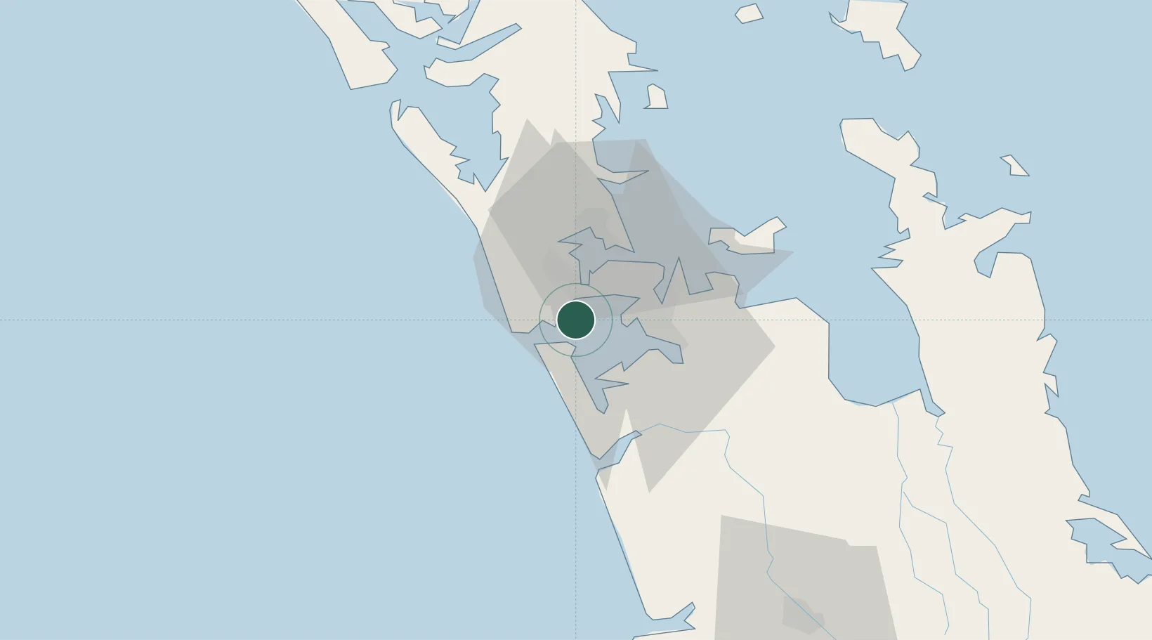
Onehunga (Manukau Harbour)
-37.0000°, 174.6667°
1
Transport functions
Transport Functions
Port
Hub Profile
Region
AUK
Location
Nearby Logistics Neighbours
Cities
- 1Henderson16 km
- 2Auckland16 km
- 3Metroport/Auckland16 km
- 4Herne Bay19 km
- 5Waitakere20 km
Ports
- 1Manukau Harbor13 km
- 2Auckland19 km
- 3Whangarei135 km
- 4Tauranga150 km
- 5Opua194 km
Airports
- 1Auckland International Airport11 km
- 2RNZAF Base Auckland-Whenuapai24 km
- 3Ardmore Airport27 km
- 4Great Barrier Aerodrome111 km
- 5Hamilton International Airport113 km
Trade Zones
- 1Hicks Bay Area Special Economic Zone314 km
- 2Rotuma-Kadavu Tax-Free Region2129 km
- 3Kalabu Tax Free Zone2136 km
- 4Nausori-Ba Tax-Free Region2143 km
- 5Lautoka Special Zone2172 km
DatabookThe Record of Consolidated Knowledge
New Zealand beyond logistics?